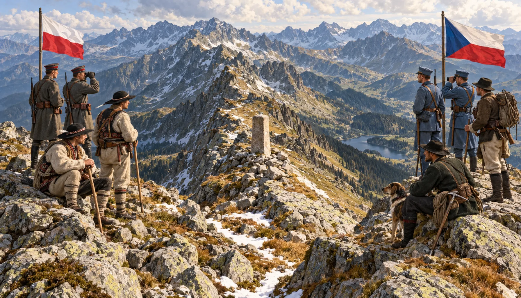
When Czechoslovakia was declared in 1918 the Tatra crest became an international border for the first time — Poland on the north side, Czechoslovakia on the south — and a range that had always been one thing became two sets of guides, two conservation regimes and two names for every peak. Exactly where the line should run was argued for years, most bitterly around Javorina, and had to be settled by international bodies in the early 1920s rather than on the ground. From then on a climber on the ridge was standing in two states at once, and for much of the twentieth century that meant border guards, permits and, after 1948, a frontier you did not casually cross.Keď v roku 1918 vzniklo Československo, stal sa tatranský hrebeň po prvý raz medzištátnou hranicou — na severe Poľsko, na juhu Československo — a pohorie, ktoré vždy bolo jedným celkom, malo odrazu dve vodcovské školy, dva režimy ochrany a dve mená pre každý štít. O tom, kadiaľ presne má čiara viesť, sa roky sporili, najtvrdšie o Javorinu, a rozhodnúť to museli začiatkom 20. rokov medzinárodné inštitúcie, nie ľudia v teréne. Odvtedy stál horolezec na hrebeni naraz v dvoch štátoch, a väčšinu 20. storočia to znamenalo pohraničníkov, povolenia a po roku 1948 hranicu, cez ktorú sa len tak neprechádzalo.