Trenčín region · Beyond the cityTrenčiansky kraj · Za hranicami mesta
Towns of the Trenčín RegionMestá Trenčianskeho kraja
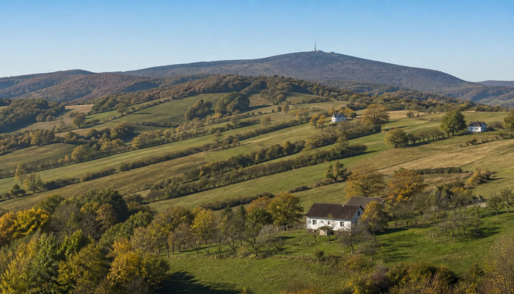
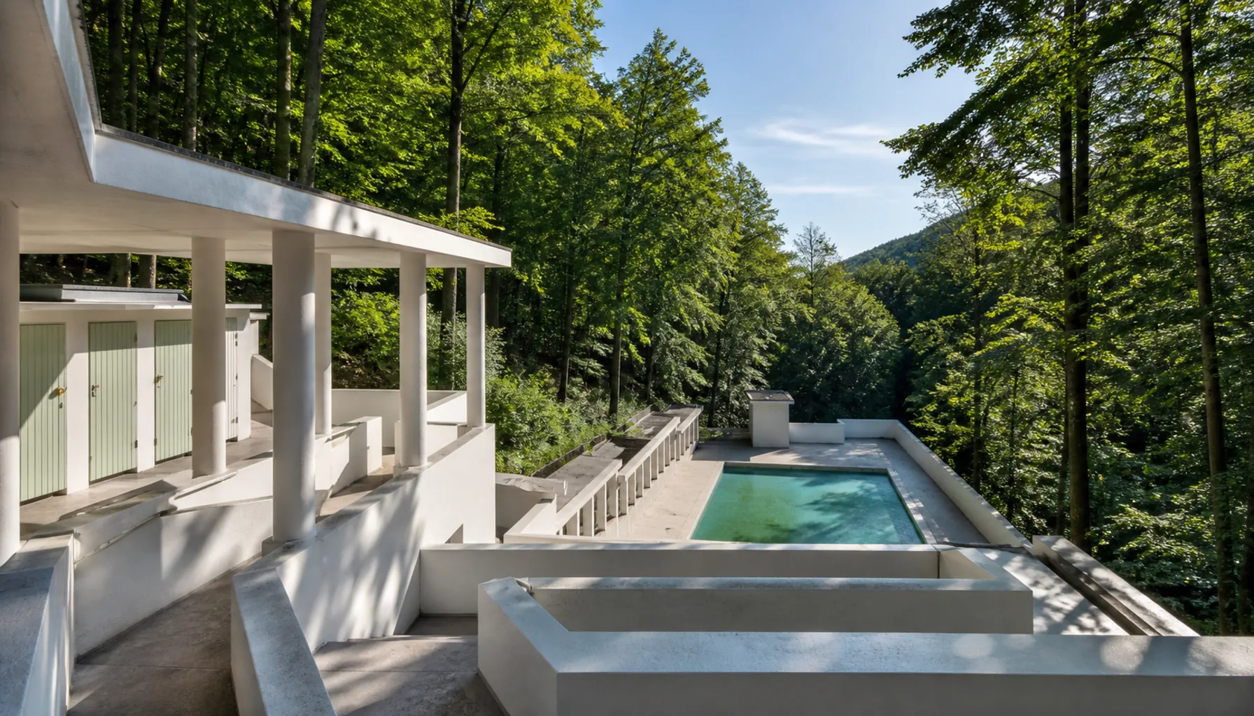
Ten towns in the two halves of the Trenčín region — the Váh corridor with its castle crags and its factories, and the Upper Nitra basin over the hills — with a spa valley and the scattered farmsteads of the Myjava uplands at either edge.Desať miest v dvoch poloviciach Trenčianskeho kraja — v považskom koridore s hradnými bralami a továrňami a v hornonitrianskej kotline za kopcami — a k tomu kúpeľná dolina a roztratené usadlosti myjavských kopaníc na oboch okrajoch.
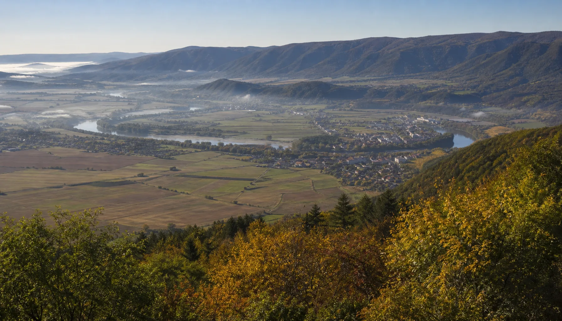
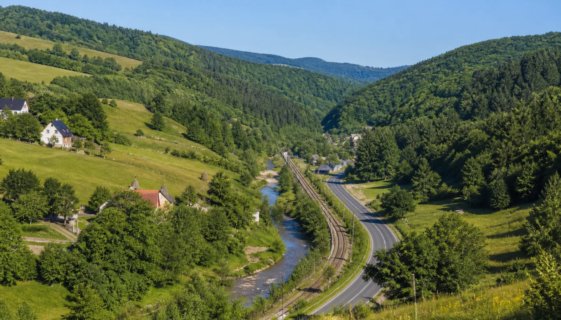
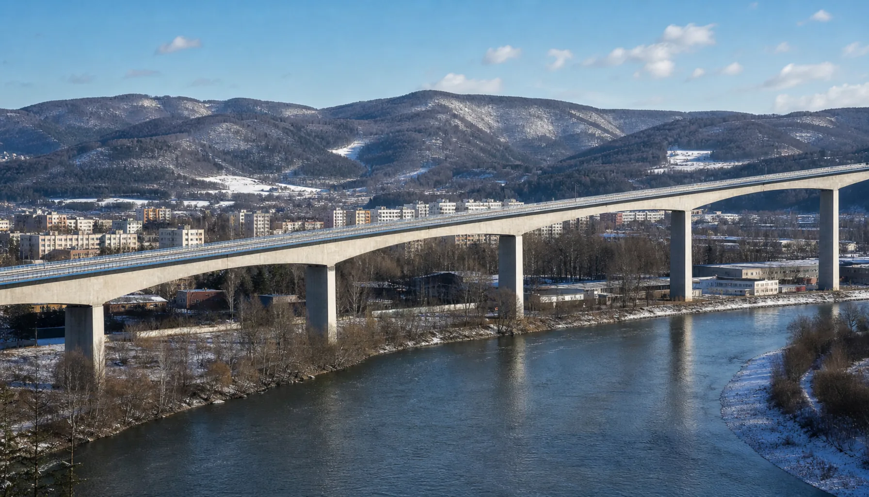
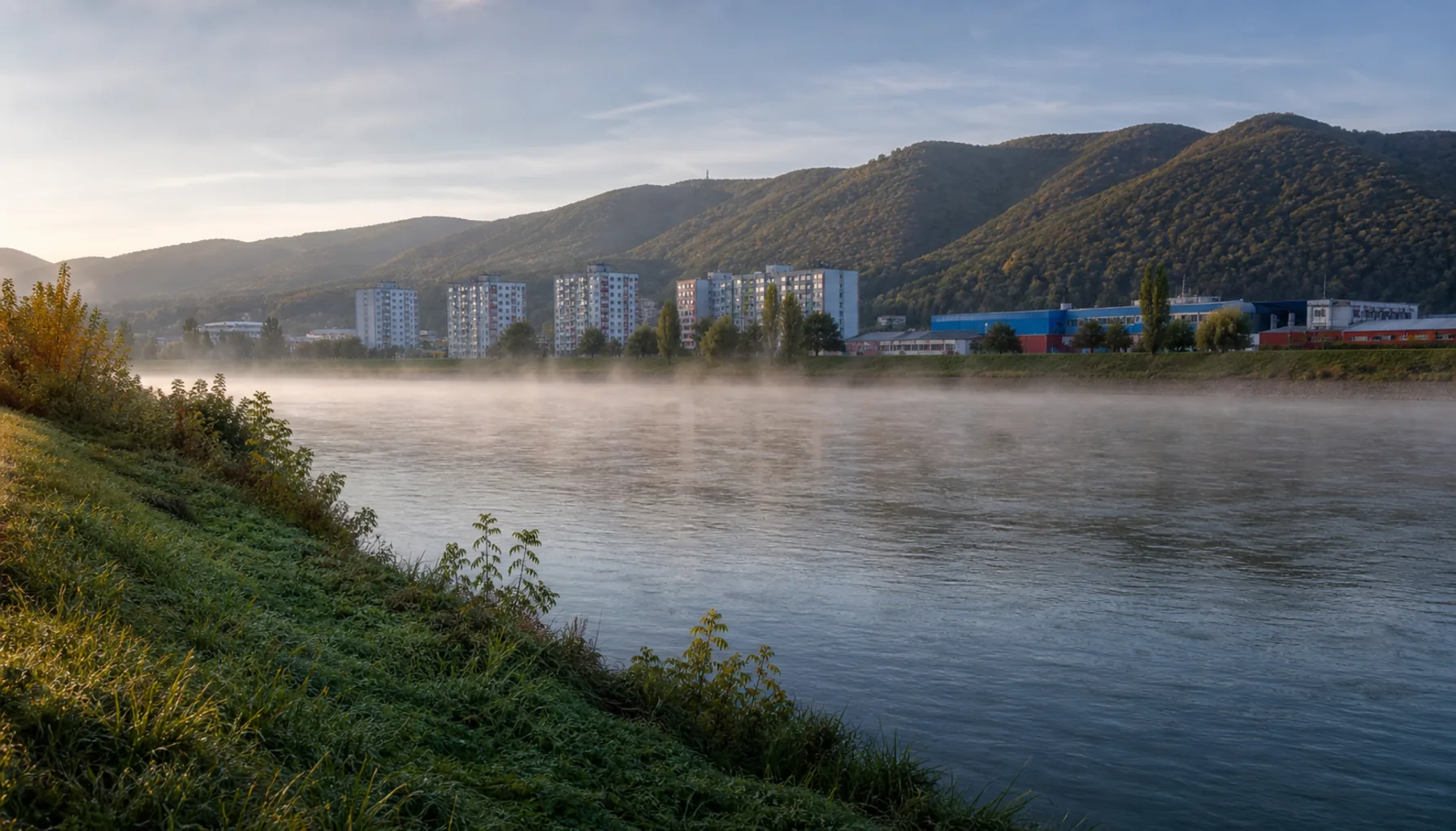
The Váh valley below the Považský Inovec, the corridor that strings the region's towns togetherÚdolie Váhu pod Považským Inovcom — koridor, ktorý spája mestá kraja do jednej šnúry
The corridor and the basinKoridor a kotlina
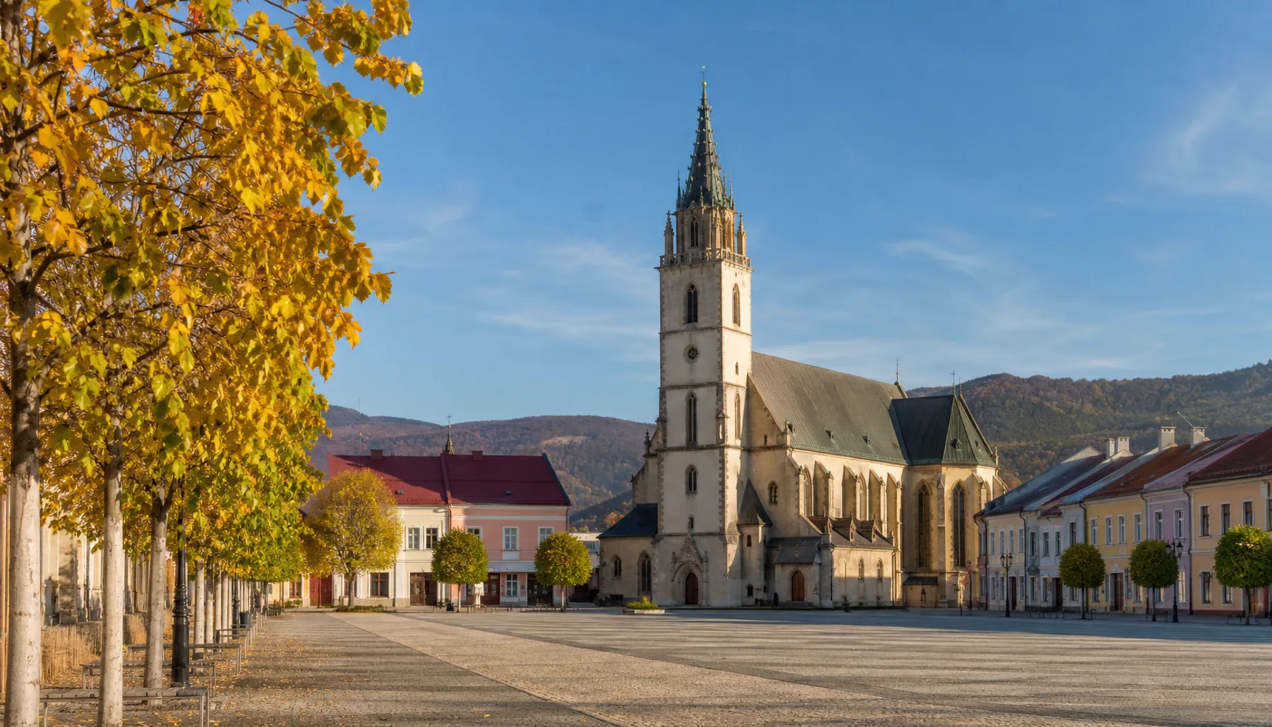
The region has two rooms. One is the middle Váh, the corridor Slovaks call Považie, pressed between the White Carpathians on the Moravian side and the Považský Inovec and the Strážov Hills on the other: Nové Mesto nad Váhom, Trenčín, Ilava, Púchov and Považská Bystrica stand on it at almost regular intervals, because that is how far a cart went in a day. The other is Upper Nitra, the basin behind the hills to the east, with Prievidza at its centre, Bojnice against its western rim and Partizánske downstream on the Nitra.Kraj má dve izby. Prvou je stredný tok Váhu, koridor, ktorému hovoríme Považie, zovretý medzi Bielymi Karpatmi na moravskej strane a Považským Inovcom so Strážovskými vrchmi na strane druhej: Nové Mesto nad Váhom, Trenčín, Ilava, Púchov a Považská Bystrica na ňom stoja takmer v pravidelných odstupoch, lebo práve toľko prešiel voz za deň. Druhou izbou je Horná Nitra, kotlina za kopcami na východe, s Prievidzou v strede, Bojnicami pri západnom okraji a Partizánskym nižšie na Nitre.
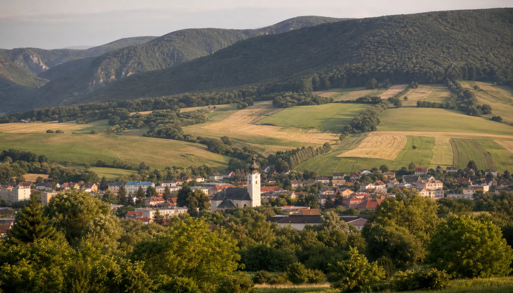
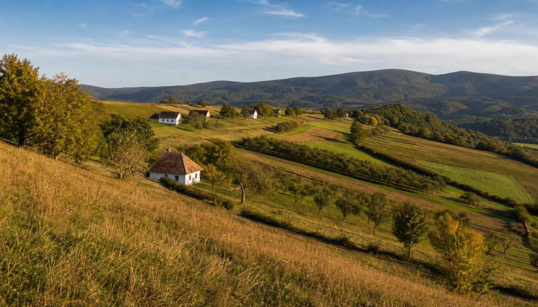
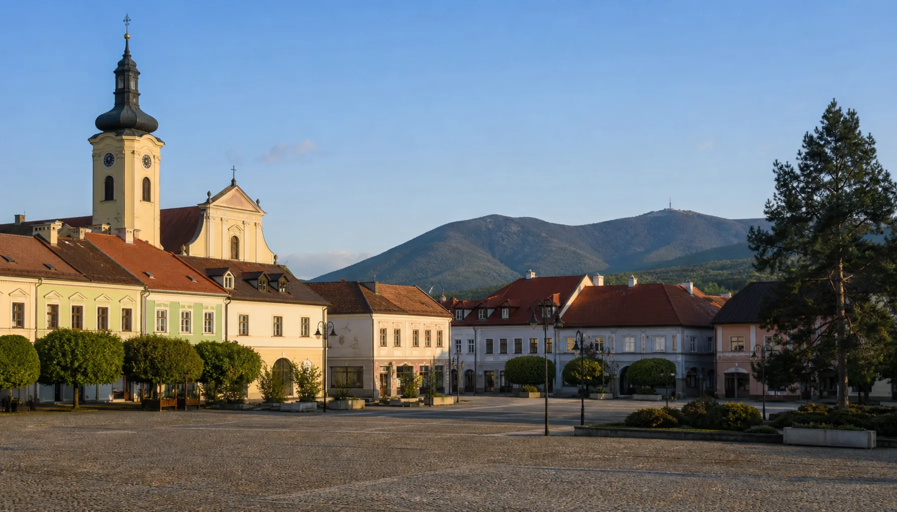
Two more places sit outside both. Bánovce nad Bebravou holds its own side valley between the ranges, on the road that links the Váh to Upper Nitra. Myjava lies west beyond the White Carpathians, in upland country that looks and farms nothing like the river valleys — and Trenčianske Teplice is a spa in a closed side valley of its own, a few kilometres and a whole change of air from the corridor below it.Ďalšie dve miesta stoja mimo oboch. Bánovce nad Bebravou majú vlastnú bočnú dolinu medzi pohoriami, na ceste, ktorá spája Považie s Hornou Nitrou. Myjava leží na západ za Bielymi Karpatmi, v kopaničiarskom kraji, ktorý sa na riečne doliny ani nepodobá — a Trenčianske Teplice sú kúpele vo vlastnej uzavretej dolinke, pár kilometrov a celkom iný vzduch, než aký je dole v koridore.
Towns the factories madeMestá, ktoré vytvorili továrne
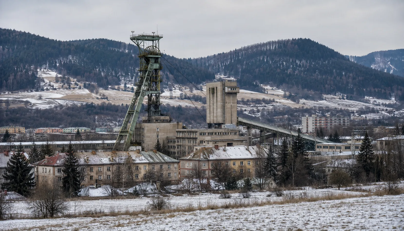
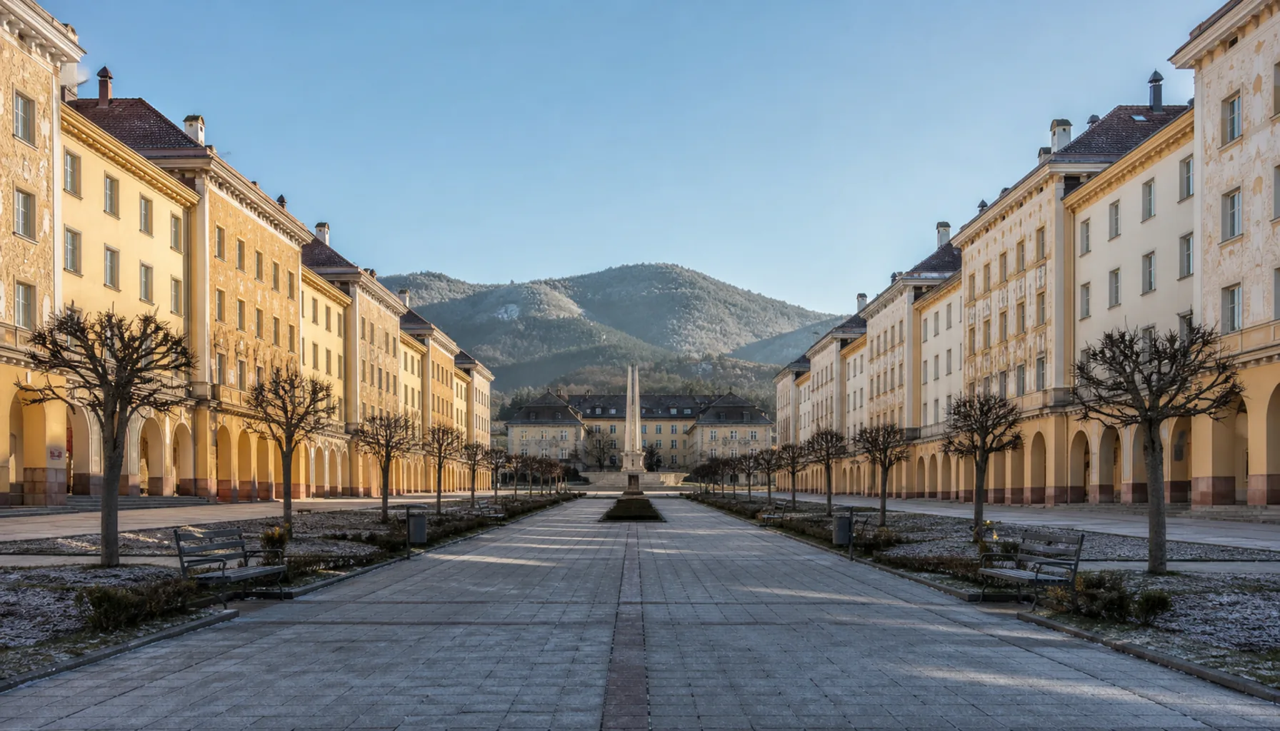
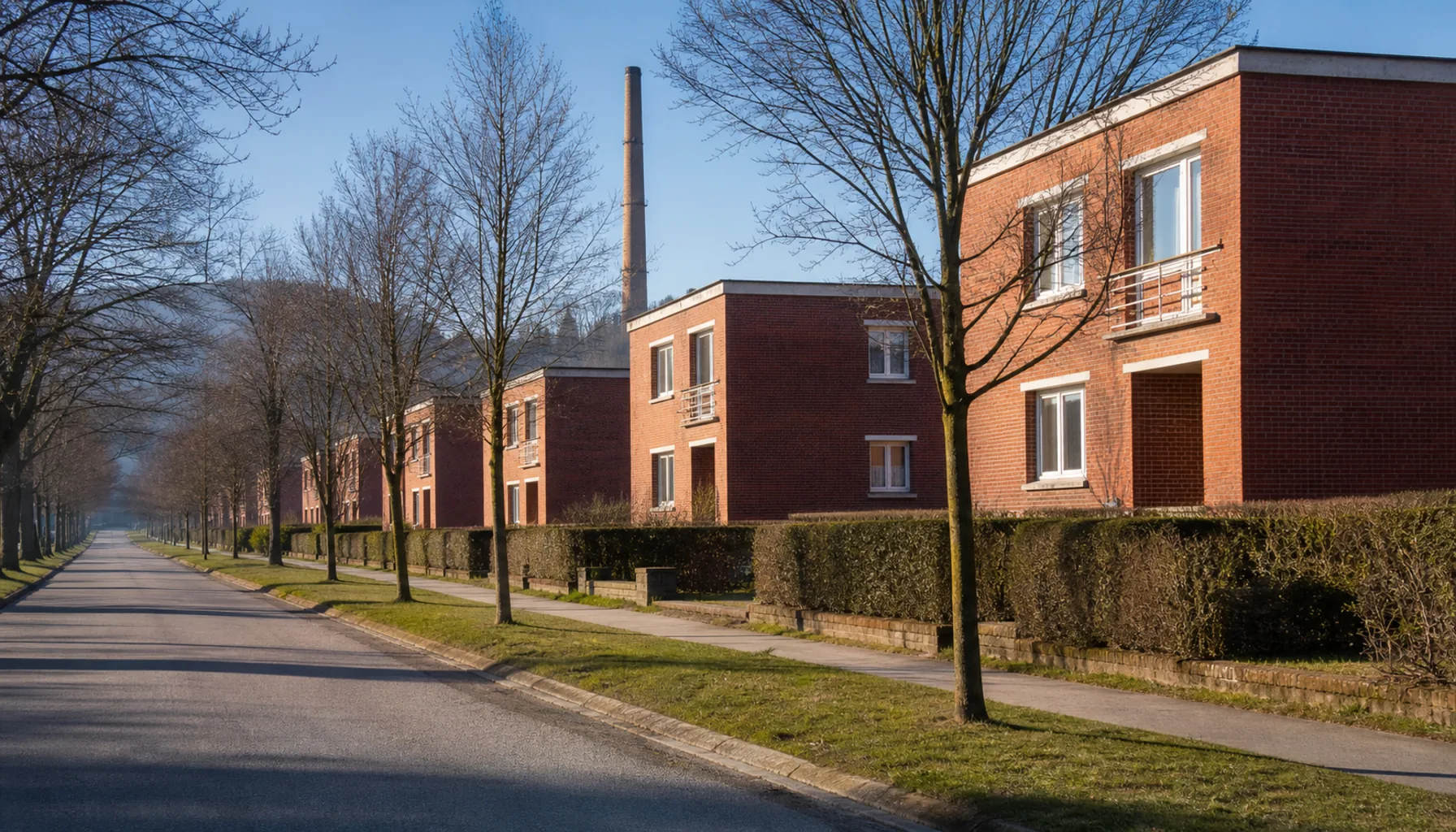
The other explanation for these towns is the twentieth century. Tyres have been made at Púchov since 1950; heavy engineering and the arms trade shaped Považská Bystrica and Dubnica nad Váhom; brown coal from Handlová, Nováky and Cígeľ paid the wages of Upper Nitra for two generations; and Partizánske was drawn on paper in 1938 as a shoe town and built from nothing. These are working places, and they do not pretend otherwise.Druhým vysvetlením týchto miest je dvadsiate storočie. V Púchove sa pneumatiky vyrábajú od roku 1950, ťažké strojárstvo a zbrojárstvo sformovali Považskú Bystricu a Dubnicu nad Váhom, hnedé uhlie z Handlovej, Novák a Cígľa platilo mzdy Hornej Nitry dve generácie a Partizánske vzniklo v roku 1938 na rysovacej doske ako obuvnícke mesto a postavilo sa na zelenej lúke. Sú to pracovné mestá a netvária sa inak.
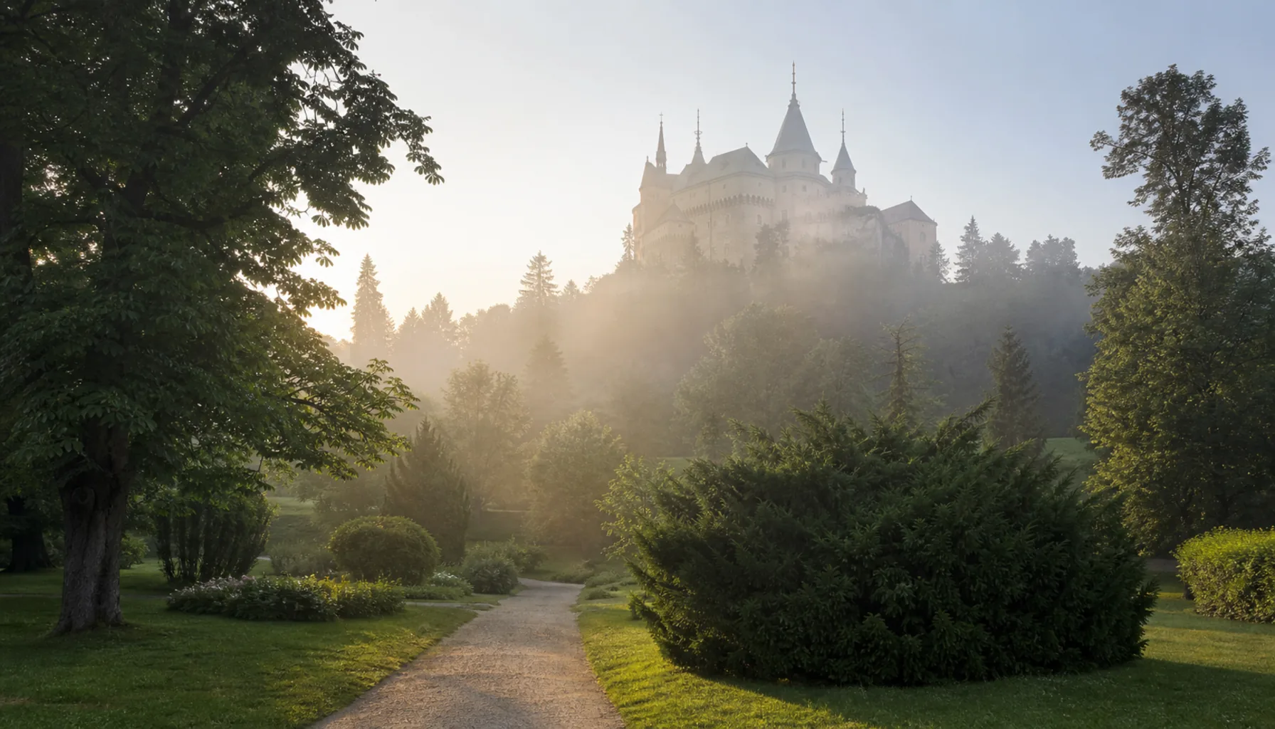
The counterweight is water and hills. Trenčianske Teplice and Bojnice both grew on warm springs and still live off them; the ridges above every one of these towns carry marked trails, and half the castles of the Váh are a walk up from a bus stop. Coal has now wound down in Upper Nitra, and the basin has spent recent years working out what comes after it.Protiváhou sú voda a kopce. Trenčianske Teplice aj Bojnice vyrástli na teplých prameňoch a dodnes z nich žijú, hrebene nad každým z týchto miest nesú značené chodníky a polovica považských hradov je pešo od autobusovej zastávky. Ťažba uhlia na Hornej Nitre sa medzitým skončila a kotlina posledné roky hľadá, čo príde po nej.
Using this pageAko túto stránku použiť
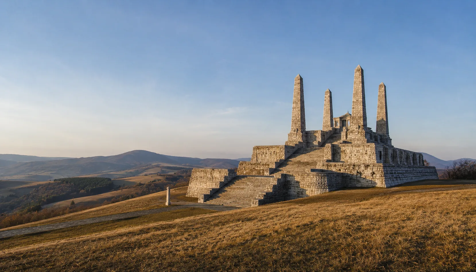
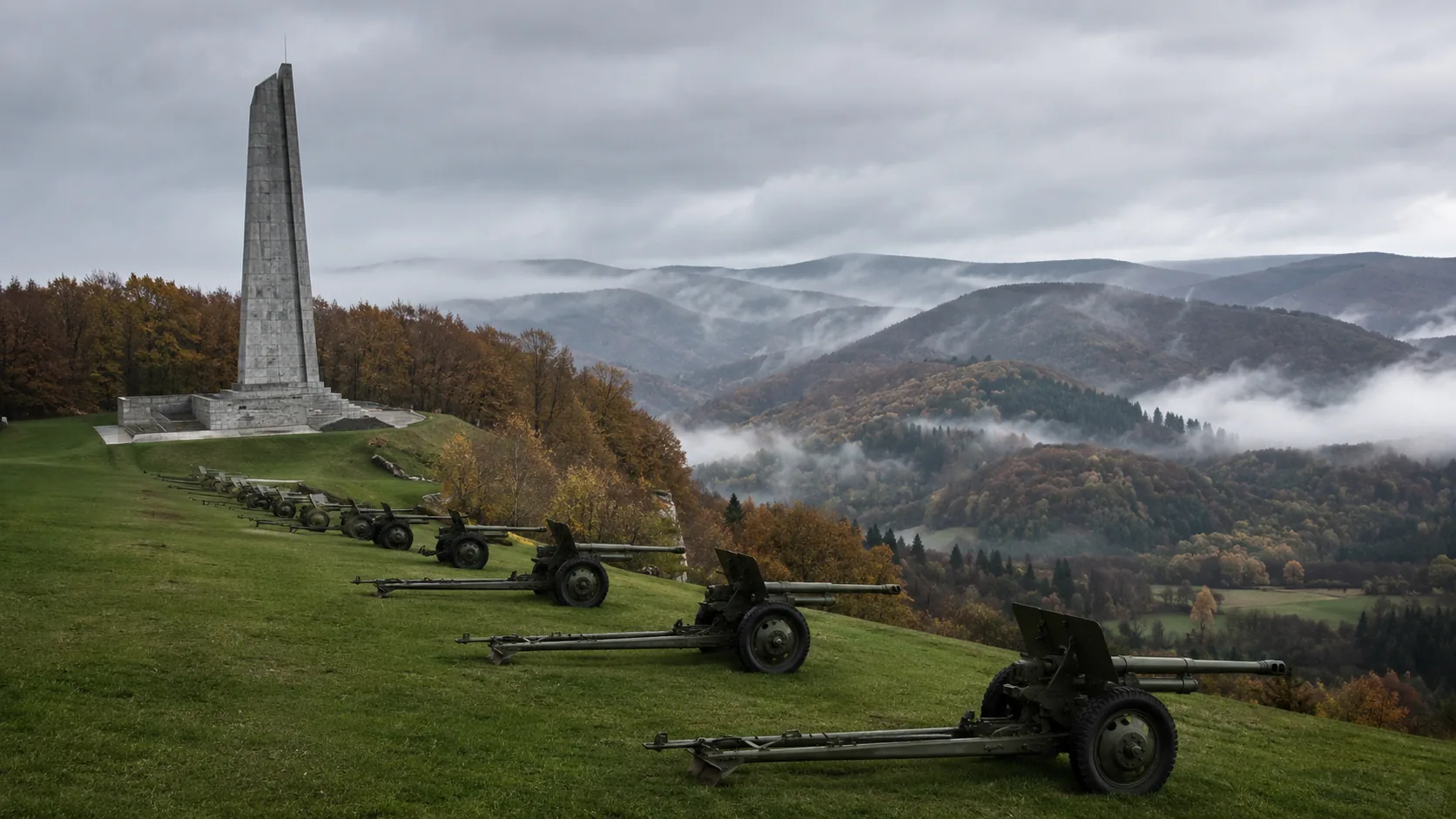
Each town below has its own page: where it stands, what happened there, what is worth seeing, what people do for a living, and how to reach it. Where a town's best-known sight is actually outside it — Uhrovec above Bánovce, Bradlo above Myjava, the Manín gorge east of Považská Bystrica — the page says so rather than claiming it.Každé mesto nižšie má vlastnú stránku: kde leží, čo sa tam stalo, čo stojí za pozretie, čím sa tam ľudia živia a ako sa tam dostať. Ak je najznámejšia pamiatka mesta v skutočnosti mimo neho — Uhrovec nad Bánovcami, Bradlo nad Myjavou, Manínska tiesňava východne od Považskej Bystrice — stránka to povie priamo, namiesto toho, aby si ju privlastnila.
Nothing here is a booking service. Opening times, spa admissions and the odd railway branch change from year to year, so confirm directly before you travel.Nič z toho nie je rezervačná služba. Otváracie hodiny, vstupy do kúpeľov aj prevádzka niektorých železničných tratí sa z roka na rok menia, preto si ich pred cestou overte priamo.