Prešov region · Beyond the cityPrešovský kraj · Za hranicami mesta
Towns of the Prešov RegionMestá Prešovského kraja
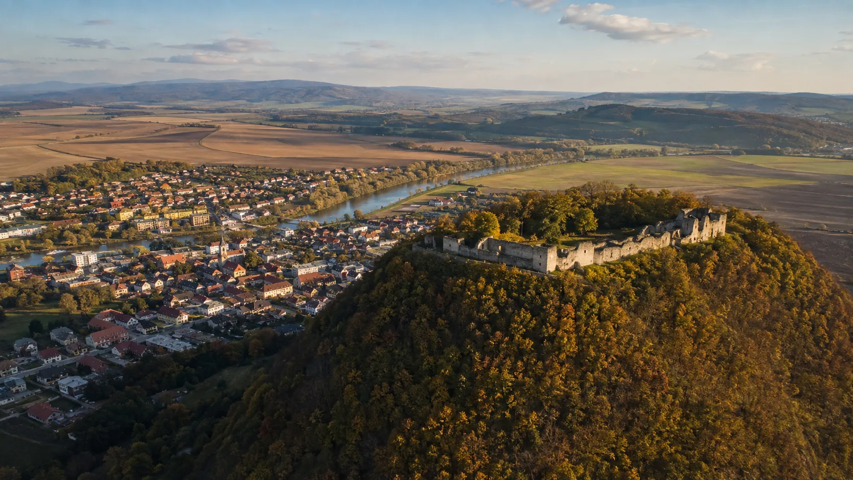
Ten towns across the north-east, each with its own page — two World Heritage town centres, a chain of border and castle towns along the Poprad and the Torysa, and the Rusyn valleys running up to the Polish frontier.Desať miest severovýchodu, každé s vlastnou stránkou — dve mestské jadrá zo zoznamu svetového dedičstva, reťaz pohraničných a hradných miest pri Poprade a Toryse a rusínske doliny stúpajúce k poľskej hranici.
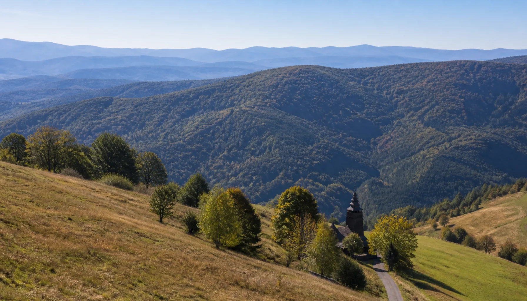
The rounded ridges of the Low Beskids on the Polish border, north of BardejovOblé chrbty Nízkych Beskýd na poľskej hranici severne od Bardejova
Three old countries in one regionTri staré krajiny v jednom kraji
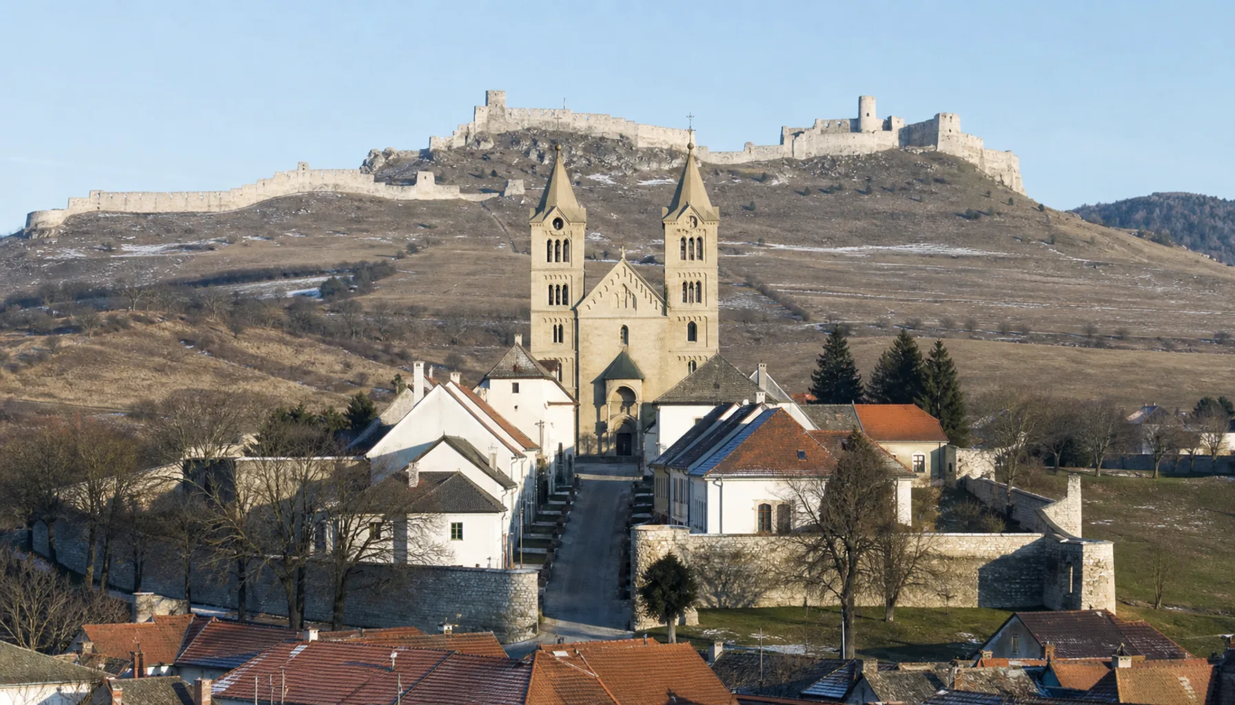
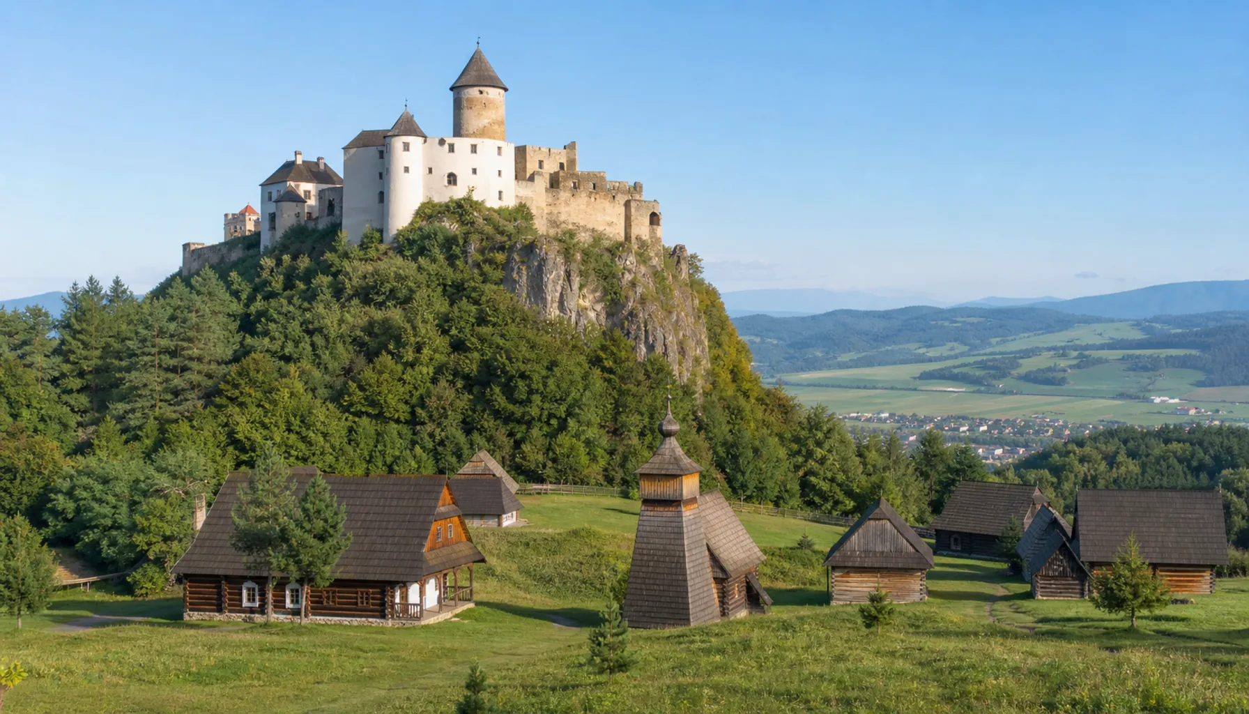
The Prešov region is an administrative unit laid over three older ones — Spiš in the west, Šariš in the middle, Zemplín in the east — and the towns still belong to those older maps more than to the modern one. Spiš built stone towns with German burghers and walls around them; Šariš grew market towns on the roads to Poland; upper Zemplín is a country of long valleys, wooden churches and small towns at their mouths.Prešovský kraj je administratívna jednotka položená na tri staršie — Spiš na západe, Šariš v strede a Zemplín na východe — a tunajšie mestá patria týmto starším mapám viac než tej dnešnej. Spiš postavil kamenné mestá s nemeckými mešťanmi a hradbami, Šariš dal vzniknúť trhovým mestám na cestách do Poľska a horný Zemplín je krajinou dlhých dolín, drevených chrámov a mestečiek pri ich ústí.
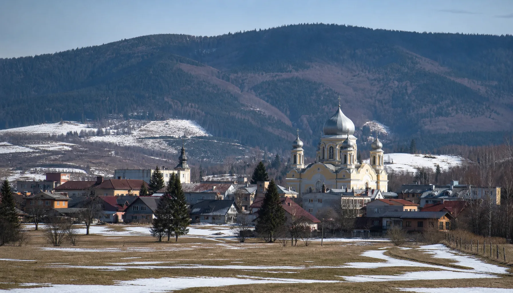
The dividing line is not only historical. West of Levoča the High Tatras dominate everything; east of Prešov the mountains fall away into the rounded flysch ridges of the Low Beskids, and the Polish border follows their crest for close to two hundred kilometres. Towns here were built where a valley narrowed, a river could be forded, or a trade road crossed into Poland.Tá deliaca čiara nie je len historická. Západne od Levoče ovláda všetko masív Vysokých Tatier, východne od Prešova hory klesajú do oblých flyšových chrbtov Nízkych Beskýd a poľská hranica sa drží ich hrebeňa takmer dvesto kilometrov. Mestá tu vznikali tam, kde sa dolina zúžila, kde sa dala prebrodiť rieka alebo kde obchodná cesta prechádzala do Poľska.
What the towns have in commonČo majú mestá spoločné
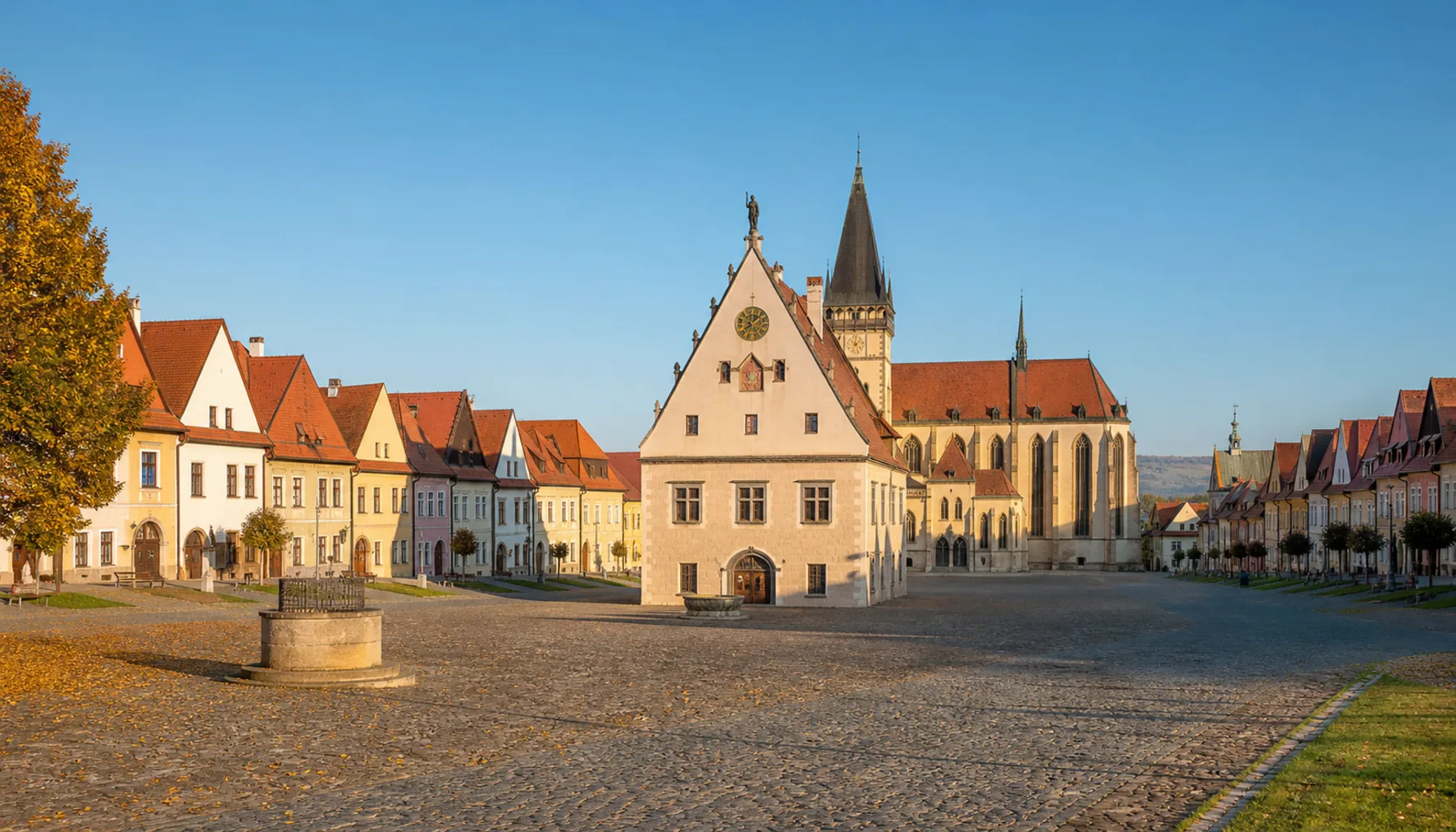
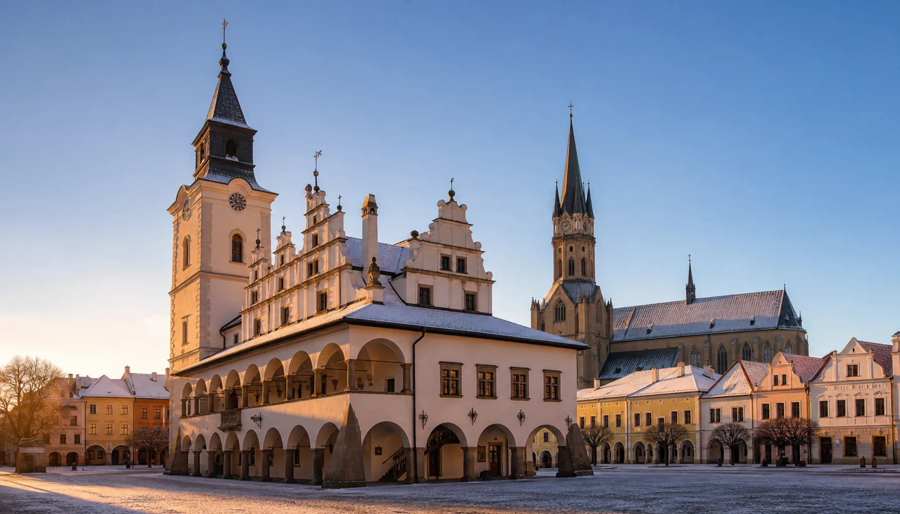
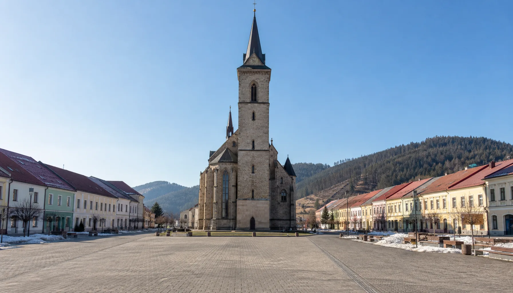
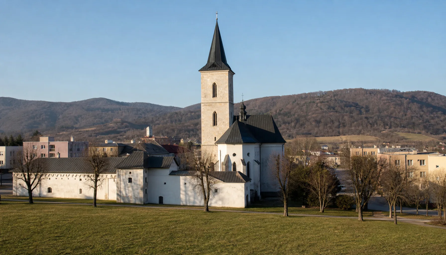
Two of these towns — Bardejov and Levoča — are on the UNESCO World Heritage List, and a third, Kežmarok, has a church on it. The concentration is not an accident: this was the far north of the Kingdom of Hungary, rich on the Polish trade, and the money went into churches, town halls and altarpieces that nobody afterwards had the means to replace. Poverty preserved what wealth had built.Dve z týchto miest — Bardejov a Levoča — sú v Zozname svetového dedičstva UNESCO a tretie, Kežmarok, má na ňom kostol. Tá koncentrácia nie je náhoda: bol to ďaleký sever Uhorského kráľovstva, zbohatnutý na poľskom obchode, a peniaze išli do kostolov, radníc a oltárov, ktoré potom už nemal kto nahradiť. Chudoba zachovala to, čo postavilo bohatstvo.
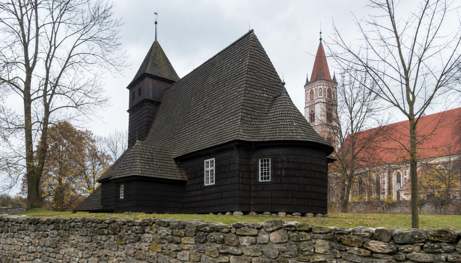
The other shared thread is faith in more than one rite. Greek Catholic and Orthodox parishes are as ordinary here as Roman Catholic and Lutheran ones, Rusyn is still spoken in the northern villages, and the wooden churches scattered through the hills — several of them on the World Heritage List — are the built expression of that. The towns are where those communities met, traded and argued.Druhou spoločnou niťou je viera vo viacerých obradoch. Gréckokatolícke a pravoslávne farnosti sú tu rovnako bežné ako rímskokatolícke a evanjelické, v severných dedinách sa dodnes hovorí po rusínsky a drevené chrámy roztrúsené po kopcoch — niekoľko z nich je vo svetovom dedičstve — sú toho stavebným vyjadrením. Mestá boli miestom, kde sa tieto spoločenstvá stretávali, obchodovali a hádali.
Using this pageAko túto stránku použiť
Each town below has its own page: where it stands, what happened there, what is worth seeing, what people do for a living, and how to reach it. Poprad and the Tatra resorts are covered separately under the Tatras, and Prešov itself has its own city guide — these are the towns around them.Každé mesto nižšie má vlastnú stránku: kde leží, čo sa tam stalo, čo stojí za pozretie, čím sa tam ľudia živia a ako sa tam dostať. Poprad a tatranské strediská majú samostatné stránky v časti Tatry a Prešov má vlastného sprievodcu — toto sú mestá okolo nich.
Distances take longer here than the map suggests: roads follow valleys and passes rather than straight lines, and the rail network thins out east of Prešov. Nothing on these pages is a booking service — museums, castles and spas keep seasonal hours, so confirm before you travel.Vzdialenosti sú tu časovo dlhšie, než naznačuje mapa: cesty sledujú doliny a sedlá, nie priamky, a železničná sieť východne od Prešova redne. Nič na týchto stránkach nie je rezervačná služba — múzeá, hrady aj kúpele majú sezónne otváracie hodiny, preto si ich pred cestou overte.