Nitra region · Beyond the cityNitriansky kraj · Za hranicami mesta
Towns of the Nitra RegionMestá Nitrianskeho kraja
Nine towns south and east of Nitra, each with its own page — the Ottoman-war fortress towns on the Danube, the Hron and Váh valley industrial centres, and the small county seats under the Tribeč hills.Deväť miest južne a východne od Nitry, každé s vlastnou stránkou — pevnostné mestá z čias tureckých vojen pri Dunaji, priemyselné centrá v údoliach Hrona a Váhu aj malé stoličné mestečká pod Tribečom.
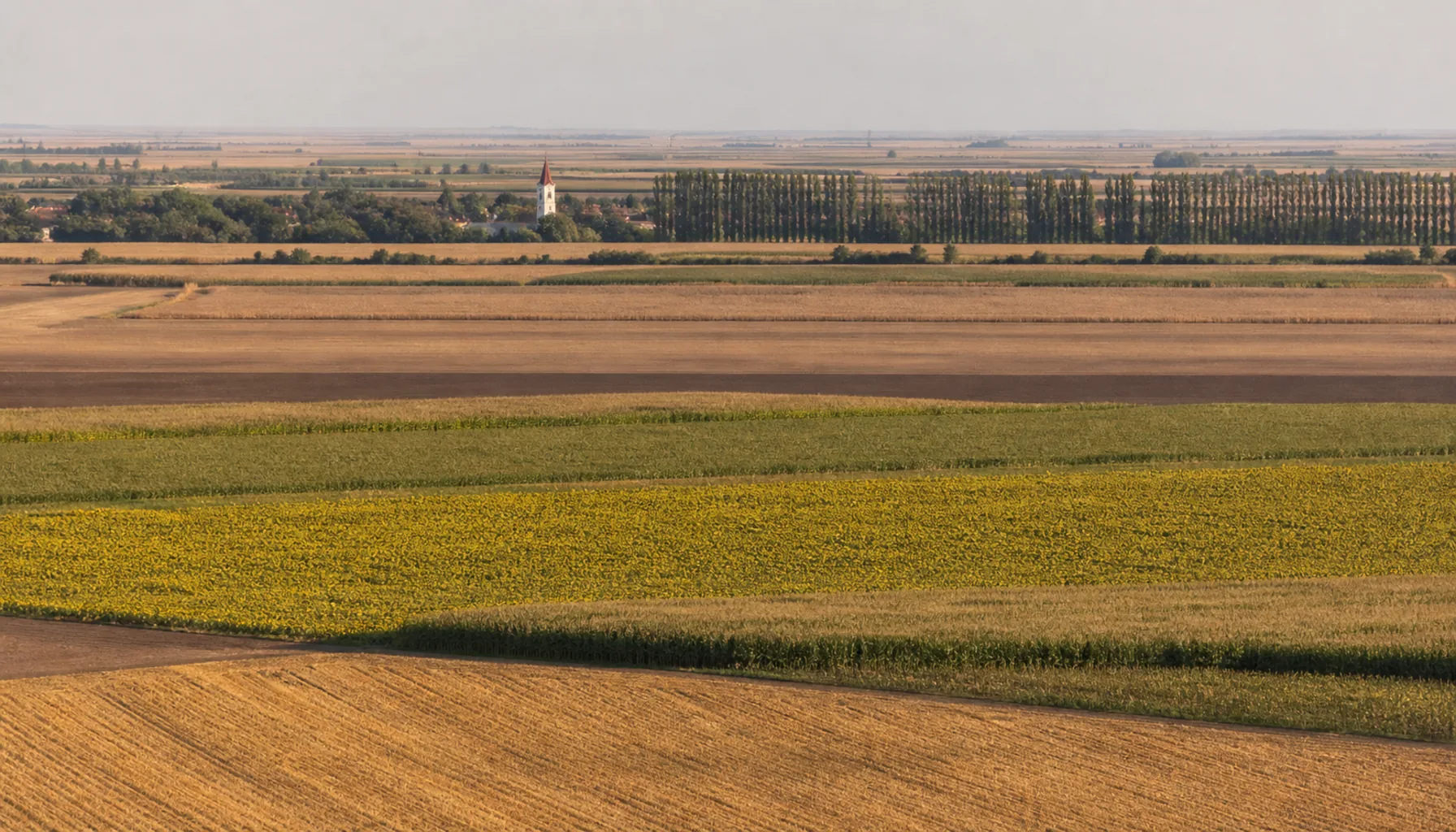
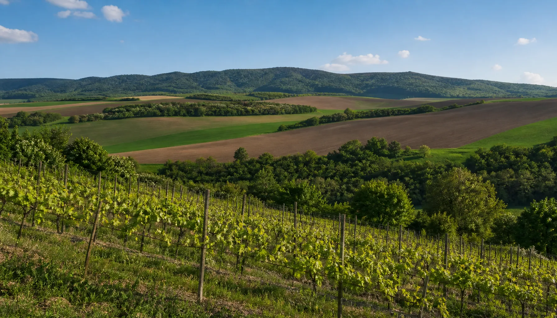
Maize and sunflower fields on the Danubian Lowland south of NitraPolia kukurice a slnečnice na Podunajskej nížine južne od Nitry
The lowland townsMestá nížiny
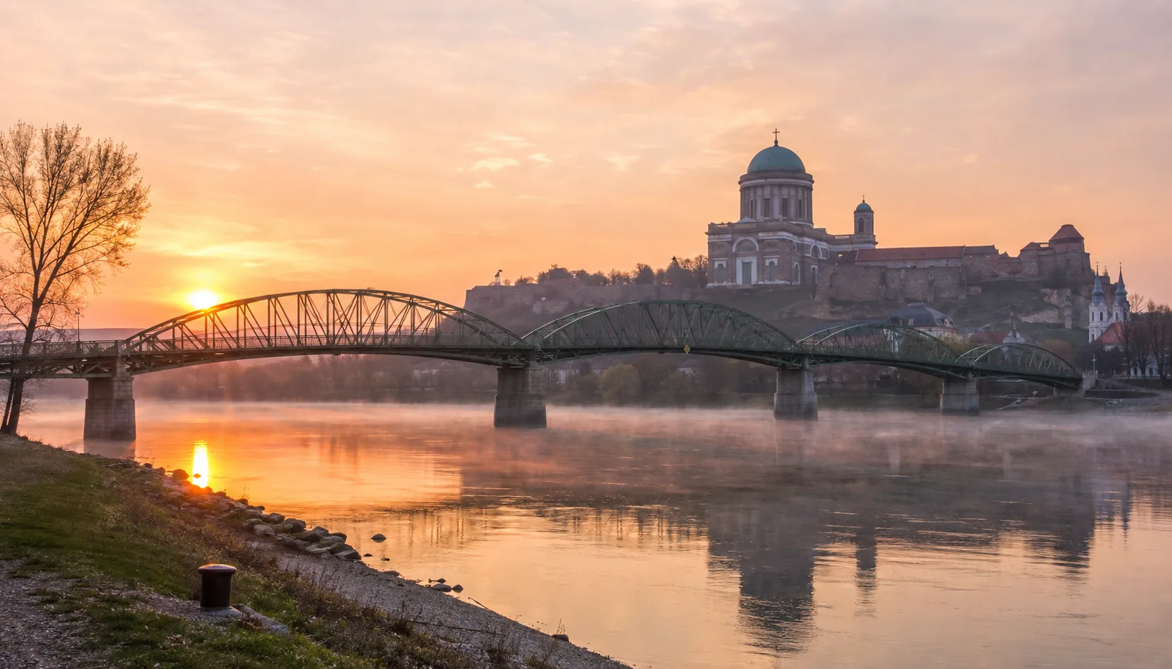
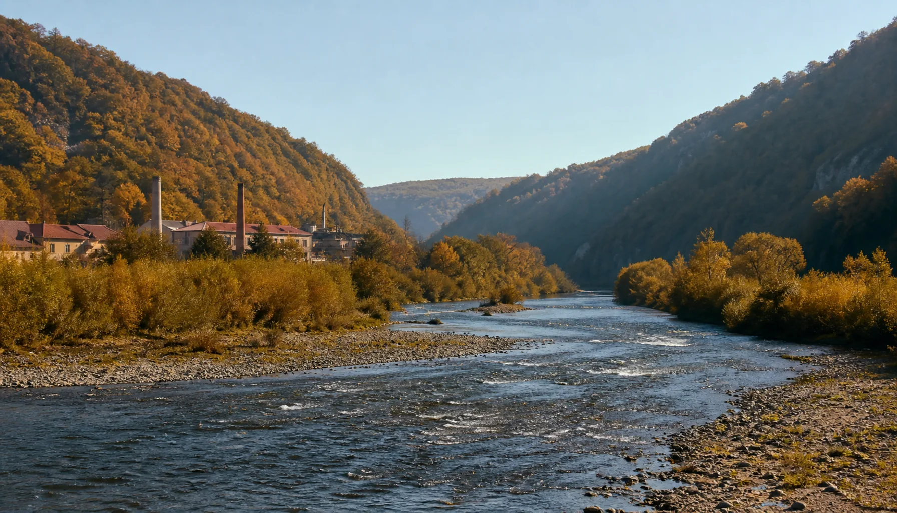
The Nitra region is the flattest part of Slovakia and the warmest. South of the city the Danubian Lowland runs unbroken to the Danube, and the towns on it grew where a river could be crossed, a fortress could be held, or a railway could be junctioned. Nové Zámky and Komárno were built to stop the Ottoman advance; Levice guarded the Hron; Šaľa, Šurany and Vráble grew on the sugar, chemical and engineering industries that the lowland's soil and rail links made possible.Nitriansky kraj je najrovinatejšia a zároveň najteplejšia časť Slovenska. Južne od mesta sa Podunajská nížina tiahne bez prerušenia až k Dunaju a mestá na nej vznikali tam, kde sa dala prekročiť rieka, udržať pevnosť alebo postaviť železničný uzol. Nové Zámky a Komárno mali zastaviť osmanský postup, Levice strážili Hron, a Šaľa, Šurany či Vráble vyrástli na cukrovarníckom, chemickom a strojárskom priemysle, ktorý umožnila úrodná pôda nížiny a železnica.
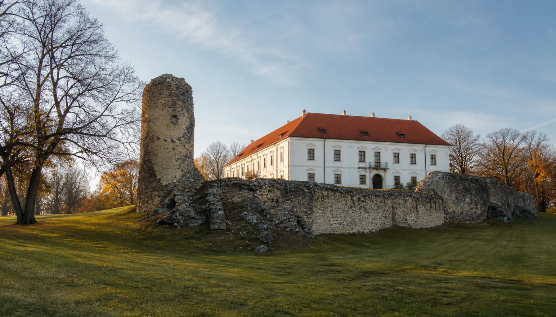
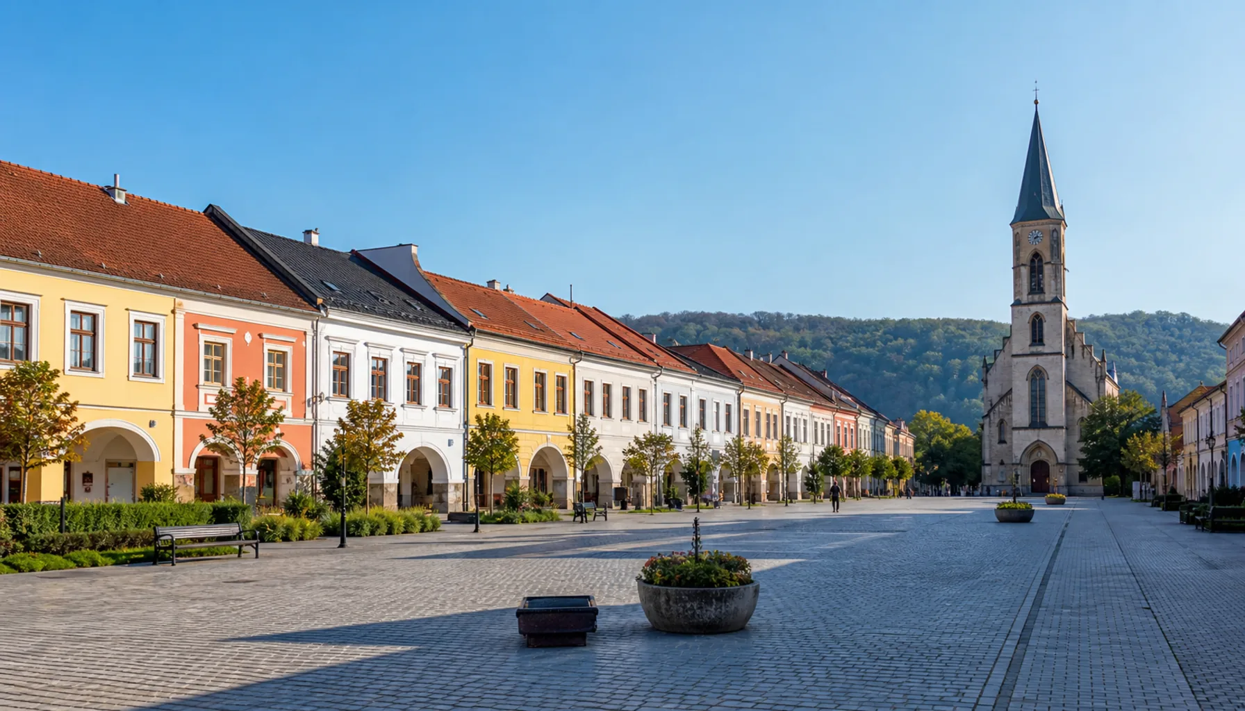
North of Nitra the ground rises into the Tribeč and the Považský Inovec, and the towns change character with it: Topoľčany and Zlaté Moravce are market towns at the foot of wooded hills, with castle ruins above them and vineyards on their southern slopes.Severne od Nitry sa terén dvíha do Tribeča a Považského Inovca a s ním sa mení aj charakter miest: Topoľčany a Zlaté Moravce sú trhové mestečká na úpätí zalesnených kopcov, so zrúcaninami hradov nad sebou a vinicami na južných svahoch.
What they have in commonČo majú spoločné
Most of these towns are bilingual in practice. The southern belt — Komárno, Štúrovo, Nové Zámky, Šaľa — has a large Hungarian-speaking population, and street signs, church notices and market chatter come in both languages. That is a fact of the region, not a controversy, and it shows in the architecture as much as the speech.Väčšina týchto miest je v praxi dvojjazyčná. Južný pás — Komárno, Štúrovo, Nové Zámky, Šaľa — má početnú maďarsky hovoriacu menšinu a názvy ulíc, oznamy na kostoloch aj reč na trhu znejú v oboch jazykoch. Je to fakt o kraji, nie spor, a vidno ho na architektúre rovnako ako počuť v reči.
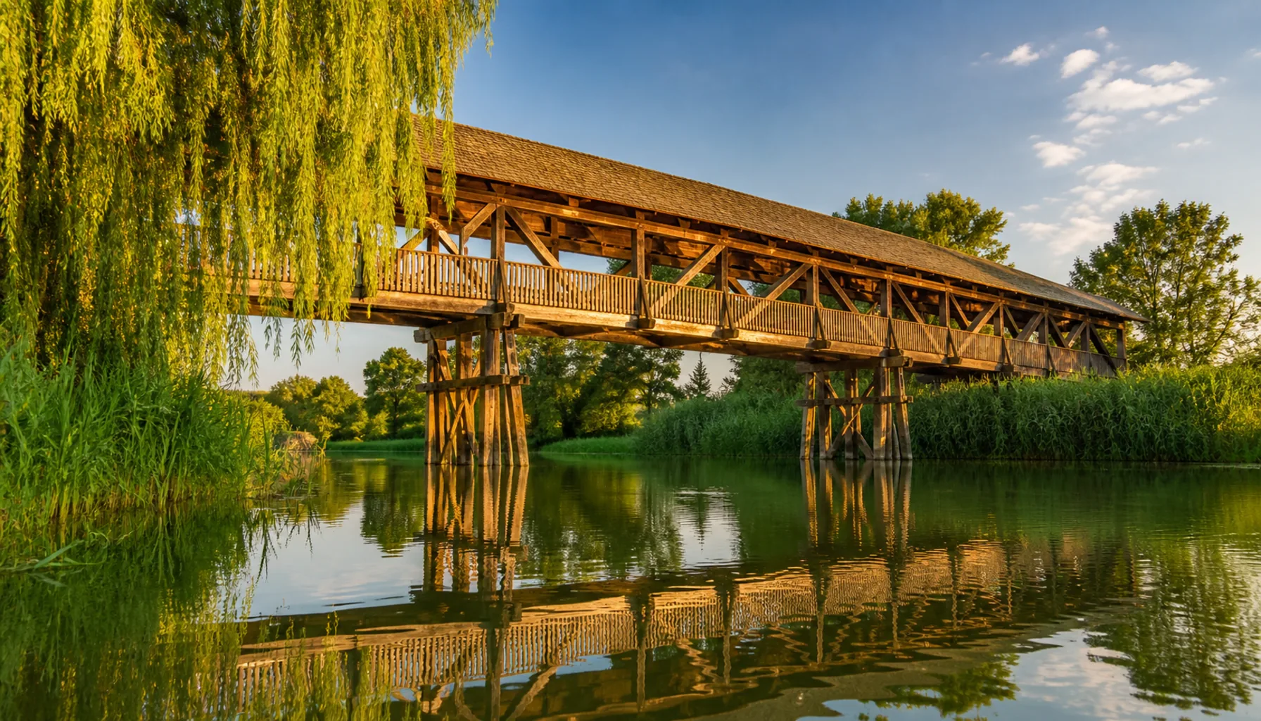
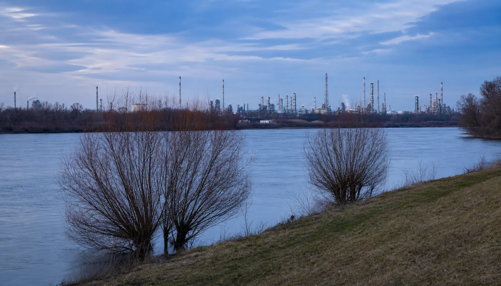
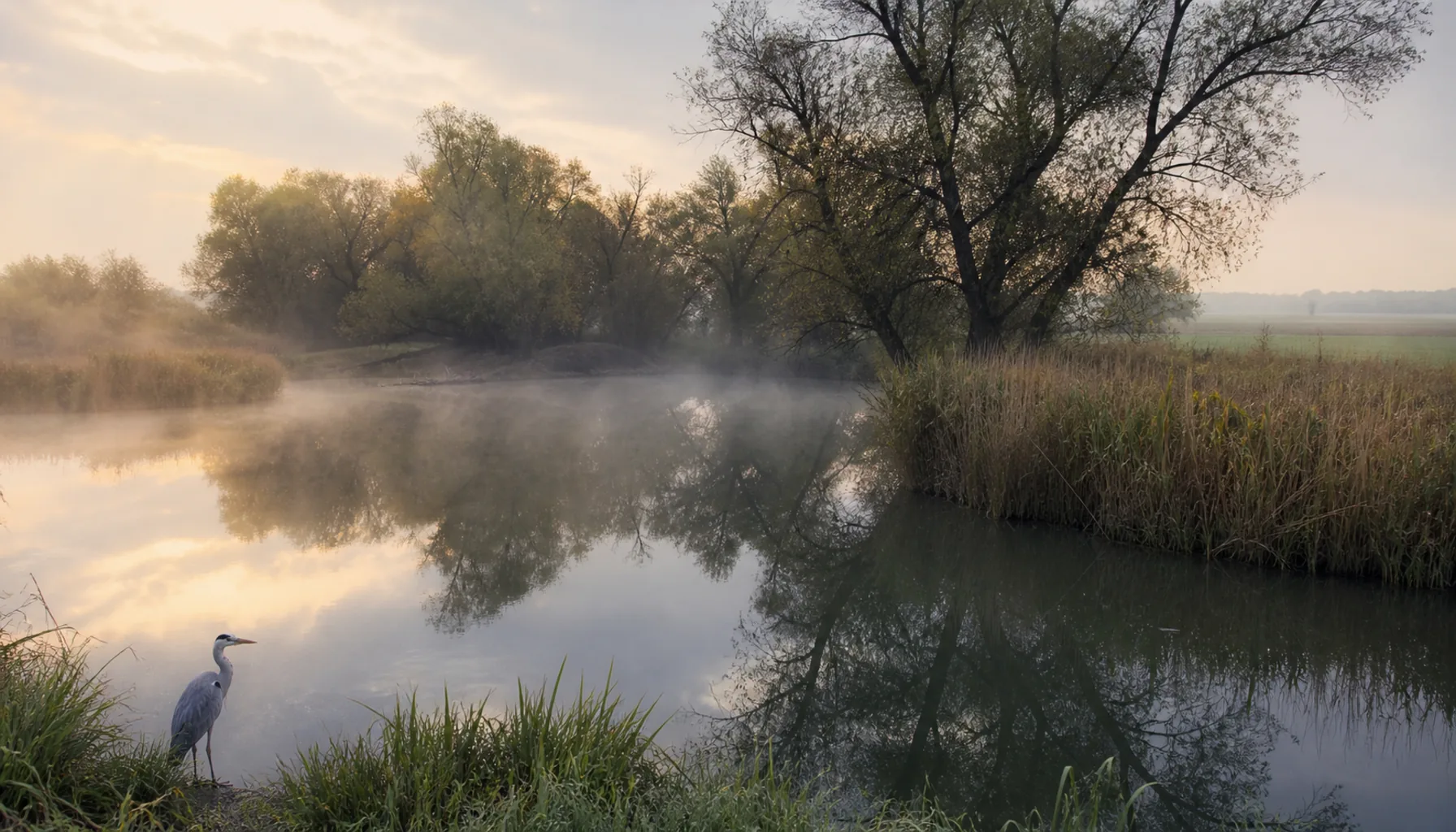
The other shared thread is water. The Danube, the Váh, the Nitra, the Hron and the Žitava all cross the region, and every town here has a flood history, a bridge worth looking at, or a thermal borehole that turned into a swimming complex.Druhou spoločnou niťou je voda. Krajom pretekajú Dunaj, Váh, Nitra, Hron aj Žitava a každé tunajšie mesto má za sebou povodne, most, ktorý stojí za pozretie, alebo termálny vrt, z ktorého vyrástol kúpaliskový areál.
Using this pageAko túto stránku použiť
Each town below has its own page: where it stands, what happened there, what is worth seeing, what people do for a living, and how to reach it by train or bus. Nothing here is a booking service — opening times and prices change, so confirm directly before you travel.Každé mesto nižšie má vlastnú stránku: kde leží, čo sa tam stalo, čo stojí za pozretie, čím sa tam ľudia živia a ako sa tam dostať vlakom či autobusom. Nie je to rezervačná služba — otváracie hodiny a ceny sa menia, preto si ich pred cestou overte priamo.