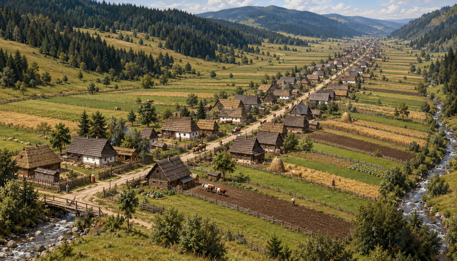
The length of Osturňa is not an accident of taste; it follows directly from how the land was divided at the founding. Each household held a single strip running from the brook straight up the hillside — meadow at the bottom, ploughland in the middle, pasture and forest at the top — so that every family had a fair share of each kind of ground in a valley where no two hundred metres are alike. The house went at the road end of its own strip. Lay enough strips side by side and you get a village several kilometres long with no square, no centre and no obvious place to stand and say you have arrived. What you look at from the ridge is a sixteenth-century property map, still in use.Dĺžka Osturne nie je vec vkusu, vyplýva priamo z toho, ako sa pri založení rozdelila pôda. Každé gazdovstvo držalo jeden pás, ktorý viedol od potoka rovno hore do svahu — dole lúka, v strede oráčina, hore pasienok a les — aby mala každá rodina spravodlivý podiel z každého druhu pôdy v doline, kde nie sú ani dvesto metrov rovnaké. Dom stál na cestnom konci vlastného pásu. Poukladajte dosť pásov vedľa seba a vznikne obec dlhá niekoľko kilometrov bez námestia, bez stredu a bez miesta, kde by sa dalo zastať a povedať, že ste prišli. To, na čo sa z hrebeňa pozeráte, je rozdelenie pôdy zo 16. storočia, ktoré stále platí.