Slovakia · WaterSlovensko · Voda

Lakes, Dams & WaterfallsJazerá, priehrady a vodopády

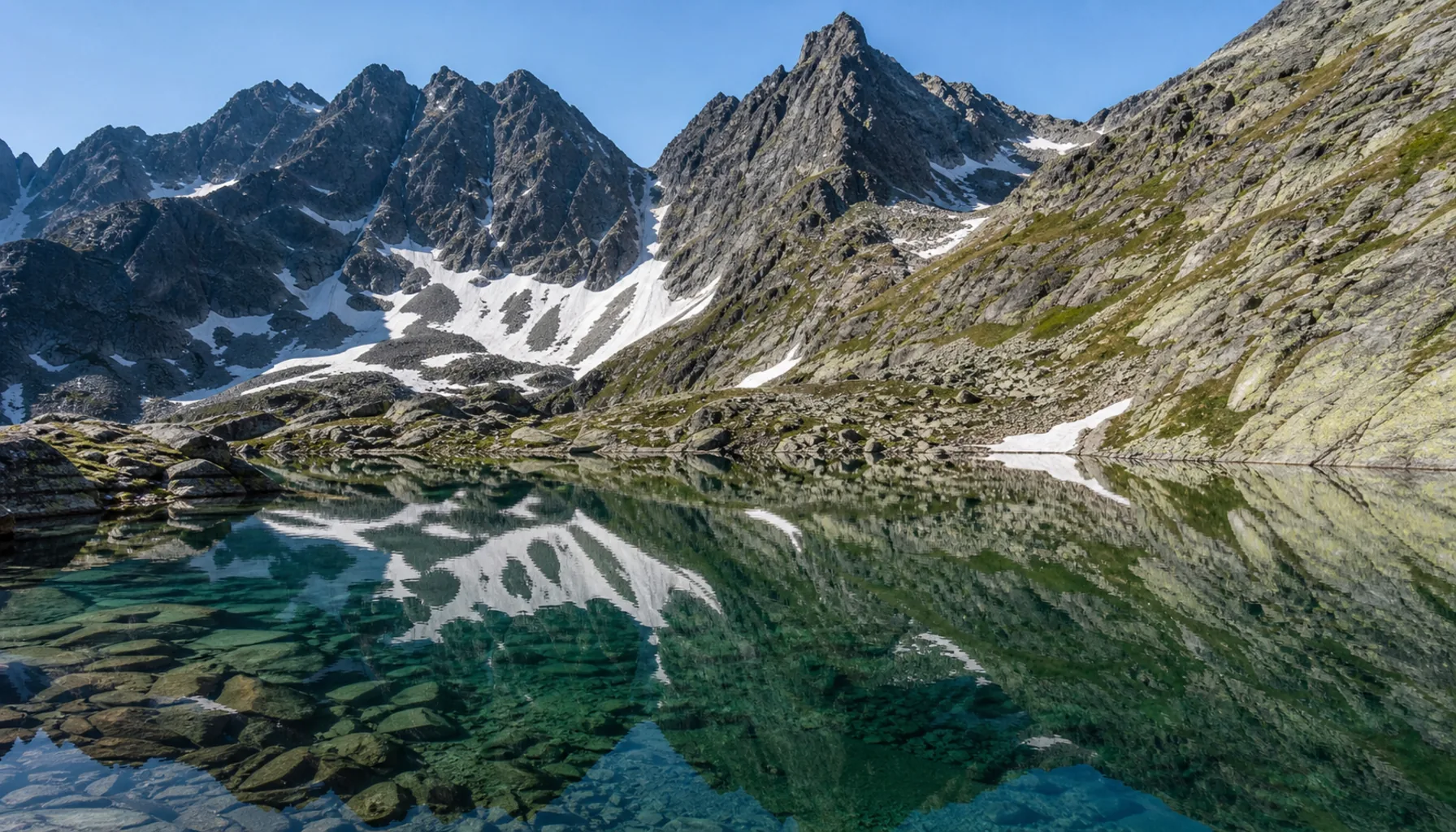
Slovakia has almost no natural lakes below the tree line. Nearly every large sheet of water in the country was engineered in the twentieth century — and the great natural exception, the glacial tarns of the High Tatras, is exactly where swimming is forbidden.Slovensko nemá pod hranicou lesa takmer žiadne prirodzené jazerá. Väčšina veľkých vodných plôch v krajine vznikla až v dvadsiatom storočí — a veľká prírodná výnimka, tatranské plesá, je práve tým miestom, kde je kúpanie zakázané.

A country with almost no natural lakesKrajina takmer bez prirodzených jazier

Slovakia is a source country rather than a receiving one. Rain falls on the mountains, the rivers gather it and carry it south to the Danube, and the whole territory drains to the Black Sea with a single exception: the Poprad, which turns north into the Dunajec and ends in the Baltic. Water crosses the country quickly and does not linger.Slovensko je krajinou prameňov, nie ústí. Dážď padá na hory, rieky ho zbierajú a odvádzajú na juh do Dunaja a celé územie odteká do Čierneho mora s jedinou výnimkou: Poprad sa obracia na sever do Dunajca a končí v Baltskom mori. Voda krajinu prechádza rýchlo a nezdržiava sa.

Standing water is another matter. Below the tree line the country has almost none that nature made: a few oxbows left behind by the lowland rivers, a handful of karst and travertine pools, and the landslide lake of Morské oko in the beech forests of the Vihorlat. Everything else that looks like a lake on a map is either a glacial tarn high in the Tatras or a reservoir with a dam at one end.So stojatou vodou je to inak. Pod hranicou lesa nemá krajina takmer nič, čo by vytvorila príroda: pár mŕtvych ramien po nížinných riekach, niekoľko krasových a travertínových jazierok a zosuvom hradené Morské oko v bukových lesoch Vihorlatu. Všetko ostatné, čo na mape vyzerá ako jazero, je buď ľadovcové pleso vysoko v Tatrách, alebo nádrž, ktorú na jednom konci uzatvára hrádza.

Rivers, on the other hand, the country has in quantity. The Danube takes almost all of them in the end — the Morava, the Váh, the Hron, the Ipeľ, and by way of the Tisza the Slaná and the Bodrog — and the mountain catchments above them supply most of the drinking water that does not come out of the gravels of the south.Riek má naopak krajina dosť. Napokon ich takmer všetky pohltí Dunaj — Moravu, Váh, Hron, Ipeľ a cez Tisu aj Slanú a Bodrog — a horské povodia nad nimi zásobujú väčšinu pitnej vody, ktorá nepochádza zo štrkov na juhu.
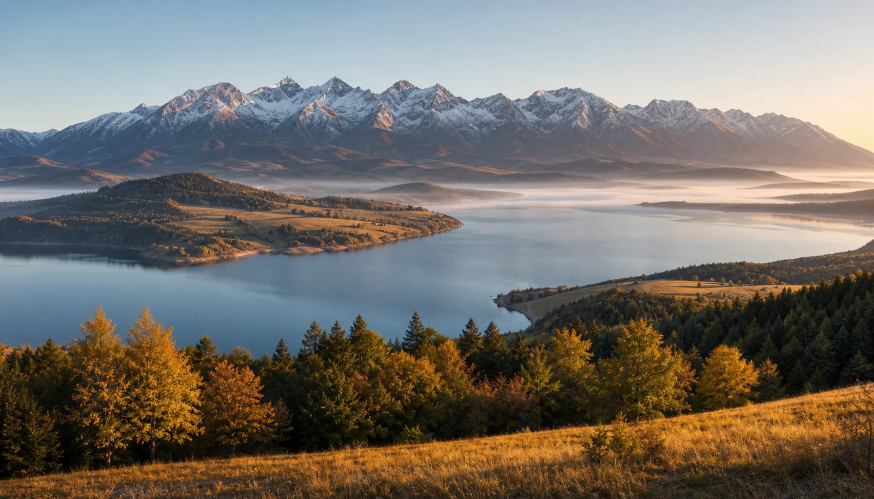
The Liptovská Mara reservoir with the High Tatras along the northern horizon
The Liptovská Mara reservoir with the High Tatras along the northern horizonVodná nádrž Liptovská Mara s Vysokými Tatrami na severnom obzore

The century that built the restStoročie, ktoré dostavalo zvyšok

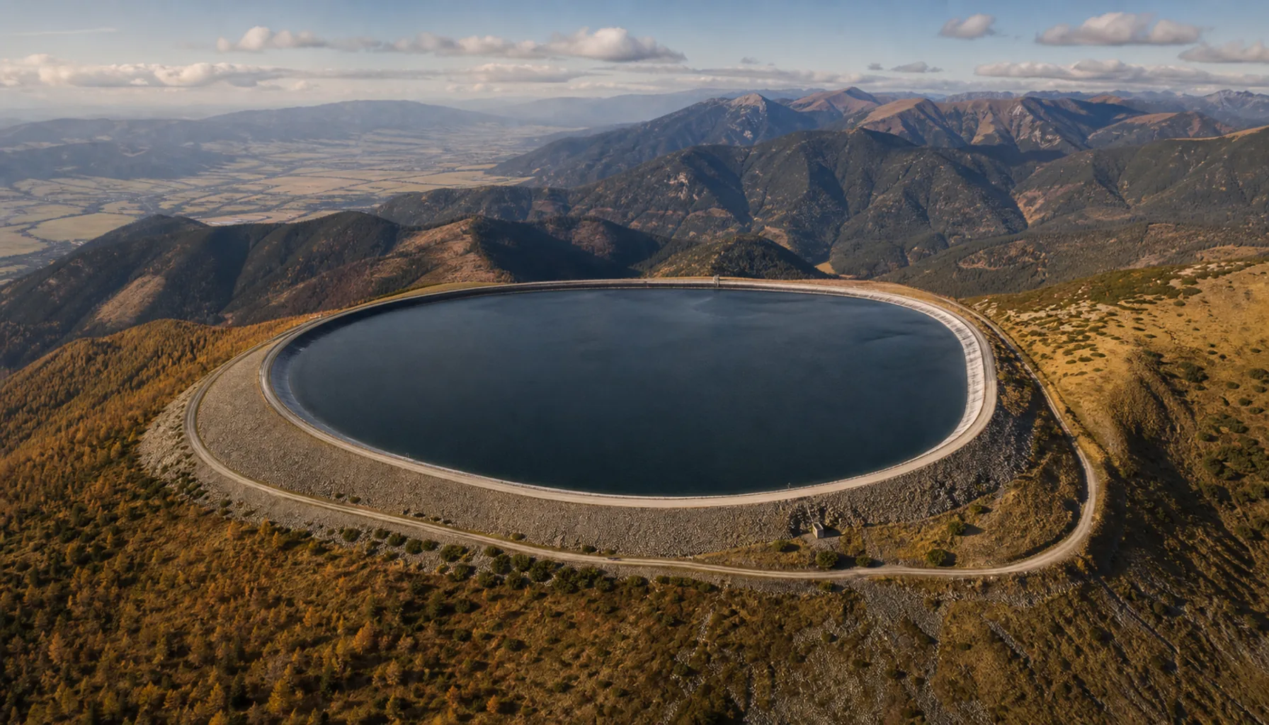
Slovak dams were built for four reasons and seldom for only one: to hold back floods, to make electricity, to irrigate the southern plain and to store drinking water. Recreation was almost never the stated purpose, and it is what most of them are known for today. The Danube and the Váh carry the largest of the works; the north and the east carry the largest sheets of open water.Slovenské priehrady vznikali zo štyroch dôvodov a málokedy len z jedného: aby zadržali povodne, vyrábali elektrinu, zavlažovali južnú rovinu a uchovávali pitnú vodu. Rekreácia takmer nikdy nebola deklarovaným účelom — a práve tým sú dnes väčšinou známe. Najväčšie stavby nesú Dunaj a Váh, najväčšie vodné plochy sever a východ.

The building was fast and the cost was local. Five villages went under the Orava reservoir in 1953; more than a dozen went under Liptovská Mara in the 1970s; seven in the Cirocha valley were emptied for the Starina drinking-water reservoir in the 1980s and their people never came back. Churches, manor houses and whole graveyards were dismantled and re-erected on higher ground, and the open-air museums that hold them are among the better places to understand what was traded away.Stavalo sa rýchlo a cenu platili miestni. Pod Oravskou priehradou zmizlo v roku 1953 päť obcí, pod Liptovskou Marou v sedemdesiatych rokoch vyše desať a v osemdesiatych rokoch vysťahovali pre vodárenskú nádrž Starina sedem dedín v doline Cirochy, ktorých obyvatelia sa už nevrátili. Kostoly, kaštiele aj celé cintoríny rozobrali a postavili znovu vyššie a skanzeny, ktoré ich dnes uchovávajú, patria k najlepším miestam, kde možno pochopiť, čo sa vtedy vymenilo za čo.

What the twentieth century added, it also has to maintain. Reservoirs silt up, concrete ages, and a dam built for a flood that used to come once in a century now faces a different climate; several of the older works have been through structural reconstruction in the last two decades.Čo dvadsiate storočie pridalo, treba aj udržiavať. Nádrže sa zanášajú, betón starne a hrádza postavená na storočnú vodu dnes čelí inej klíme; viaceré staršie diela prešli za posledné dve desaťročia rekonštrukciou.

What these chapters coverČo obsahujú tieto kapitoly

The chapters in this section take one kind of water at a time and try to explain the thing rather than advertise it: what was built and why, what it replaced, who uses it now, and what the rules are. Where a single lake, dam or waterfall has its own page elsewhere on this site, the chapter gives the context and leaves the practical detail there. Numbers appear only where they can be stood behind: where a depth or a height is disputed, the chapter says which of two lakes is the deeper rather than by how much.Kapitoly tejto sekcie berú vždy jeden druh vody a snažia sa ho vysvetliť, nie vychváliť: čo sa postavilo a prečo, čo tým zaniklo, kto to dnes využíva a aké platia pravidlá. Ak má jednotlivé jazero, priehrada alebo vodopád na tomto webe vlastnú stránku, kapitola dáva súvislosti a praktické podrobnosti nechá tam. Čísla sa uvádzajú len tam, kde za ne možno ručiť: ak je hĺbka alebo výška sporná, kapitola povie, ktoré z dvoch jazier je hlbšie, a nie o koľko.

Three rules run through all of it. Swimming is forbidden in the Tatra tarns and in every reservoir that holds drinking water, and both bans are enforced. The gorge routes of Slovenský raj run one way only, upward, and need boots with a grip rather than sandals. And above the tree line there is no shelter of any kind, which makes an afternoon thunderstorm on an open shore the most predictable danger in the country.Všetkým sa tiahnu tri pravidlá. V tatranských plesách a vo všetkých vodárenských nádržiach je kúpanie zakázané a oba zákazy sa kontrolujú. Rokliny Slovenského raja sú jednosmerné, prechádzajú sa len nahor a vyžadujú obuv s poriadnou podrážkou, nie sandále. A nad hranicou lesa nie je žiadny úkryt, takže popoludňajšia búrka na otvorenom brehu je najpredvídateľnejším nebezpečenstvom v krajine.

Season decides the rest. The lowland thermal pools run all year and are busiest in winter; the high tarns lie under snow or ice from autumn until early summer, while the marked high routes of the national parks are closed; the reservoirs fill in July and are quiet by October, and in a dry year some of them stand metres below full by the end of the summer.Zvyšok rozhoduje sezóna. Termálne kúpaliská na nížine fungujú celý rok a najviac ľudí majú v zime; vysoko položené plesá ležia od jesene do začiatku leta pod snehom a ľadom, kým sú vysokohorské chodníky národných parkov uzavreté; priehrady sa v júli naplnia ľuďmi a v októbri stíchnu a v suchom roku stojí hladina niektorých na konci leta o metre nižšie.

ExplorePreskúmajte

One page eachKaždé s vlastnou stránkou

← Discover Slovakia← Objavte Slovensko

WatchPozrite si

Sixteen videos for Lakes, Dams & Waterfalls.Šestnásť videí — Jazerá, priehrady a vodopády.