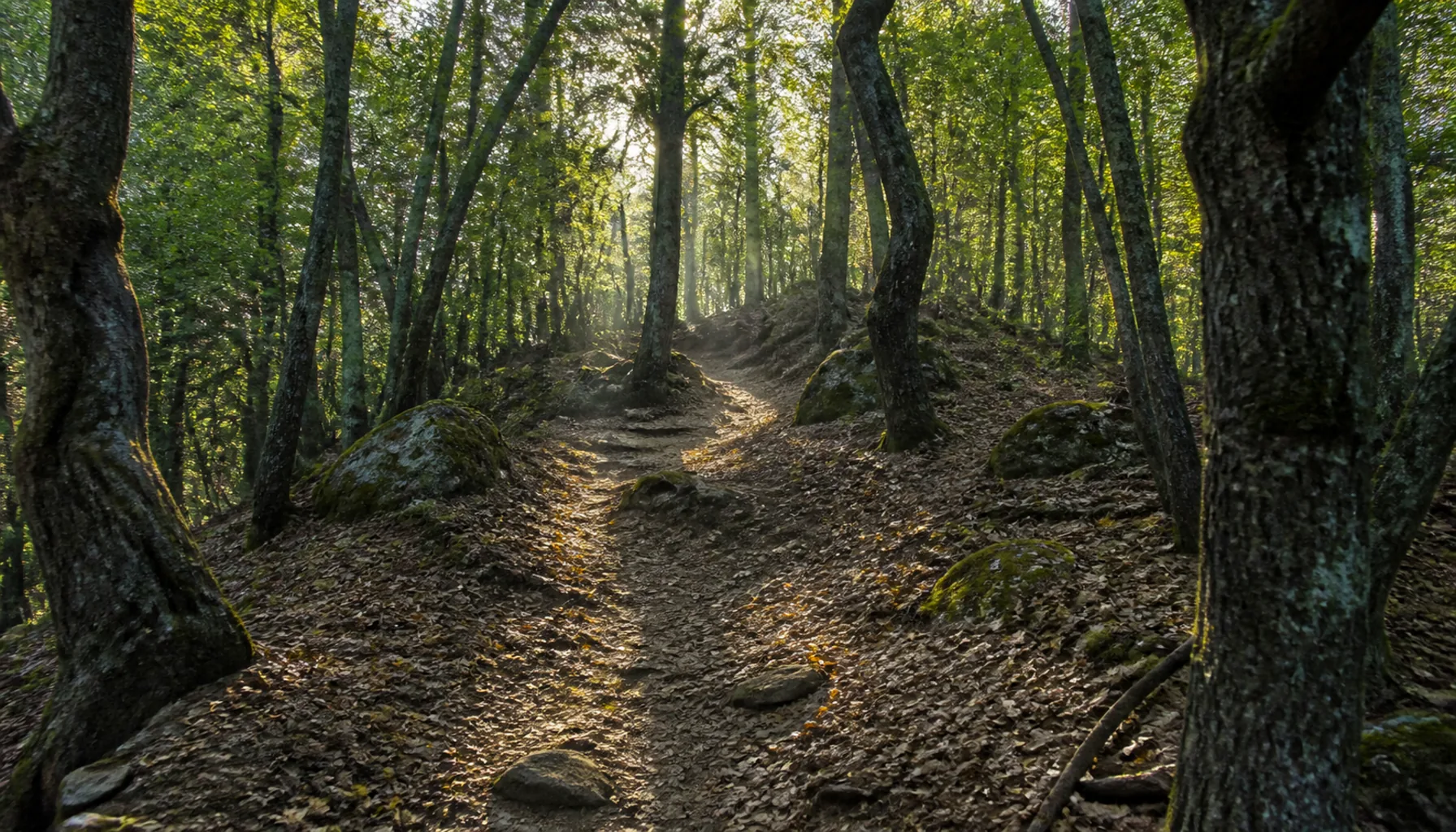
Half an Hour Through Oak WoodPolhodina dubovým lesom
The marked trail leaves the village and climbs through oak forest — thirty to forty-five minutes at an ordinary pace, moderate throughout, with no scrambling and no exposure. It is shaded nearly all the way, which makes it a good summer walk in a region that gets genuinely hot, and it keeps the view hidden until the last minute. There is no ticket office at the top and no barrier at the bottom; you simply walk up.Značený chodník vychádza z obce a stúpa dubovým lesom — pri bežnom tempe tridsať až štyridsaťpäť minút, celý čas mierne, bez lezenia a bez exponovaných miest. Takmer po celej dĺžke je v tieni, čo z neho robí dobrý letný výstup v kraji, kde býva naozaj horúco, a výhľad drží skrytý až do poslednej chvíle. Hore nie je pokladňa a dole závora; jednoducho vyjdete.
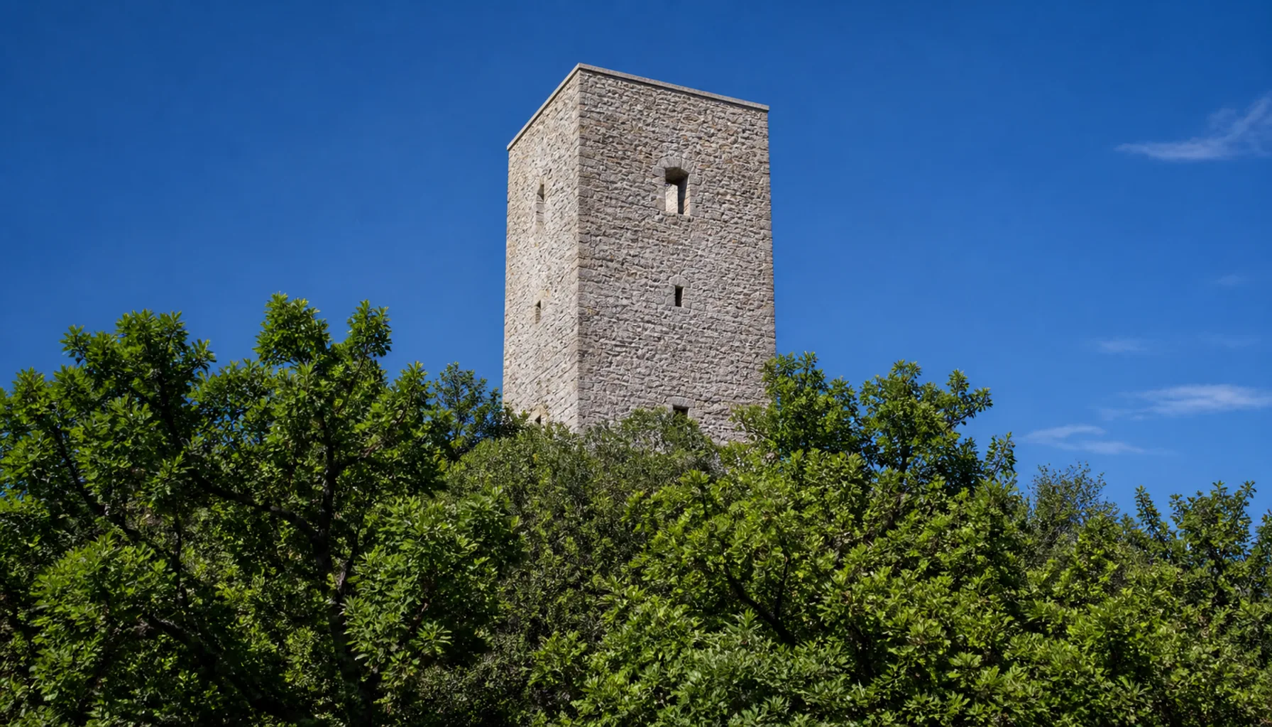
At the top you come out onto walls that have been consolidated in recent years, with a surviving tower secured and a viewpoint at the head of the site. How much of the tower is open has changed as the conservation work has gone on, so treat any description — including this one — as provisional and check locally. What does not change is what you look at: the whole sheet of Zemplínska šírava below, its resort shore on the far side, and the long wooded back of the Vihorlat closing the horizon.Hore vyjdete k múrom, ktoré v posledných rokoch konzervovali, so zabezpečenou zachovanou vežou a vyhliadkou na čele lokality. To, koľko z veže je prístupné, sa s postupom obnovy menilo, takže každý opis — vrátane tohto — berte ako dočasný a overte si ho na mieste. Nemenný zostáva pohľad: celá hladina Zemplínskej šíravy dole, rekreačný breh na druhej strane a dlhý zalesnený chrbát Vihorlatu, ktorý uzatvára obzor.