By Rail, Road, River & Air — Across the CountryVlakom, autom, loďou aj lietadlom — naprieč krajinou
Getting Around
SlovakiaDoprava
po Slovensku
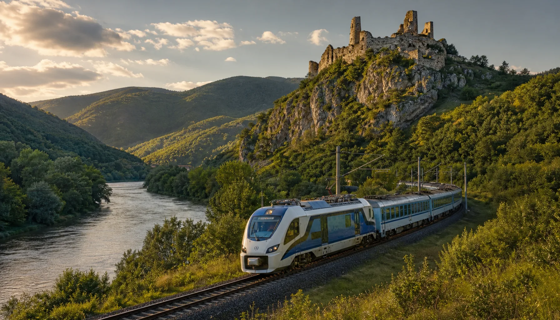
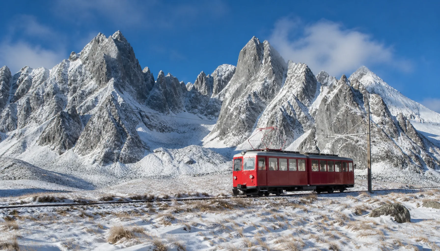
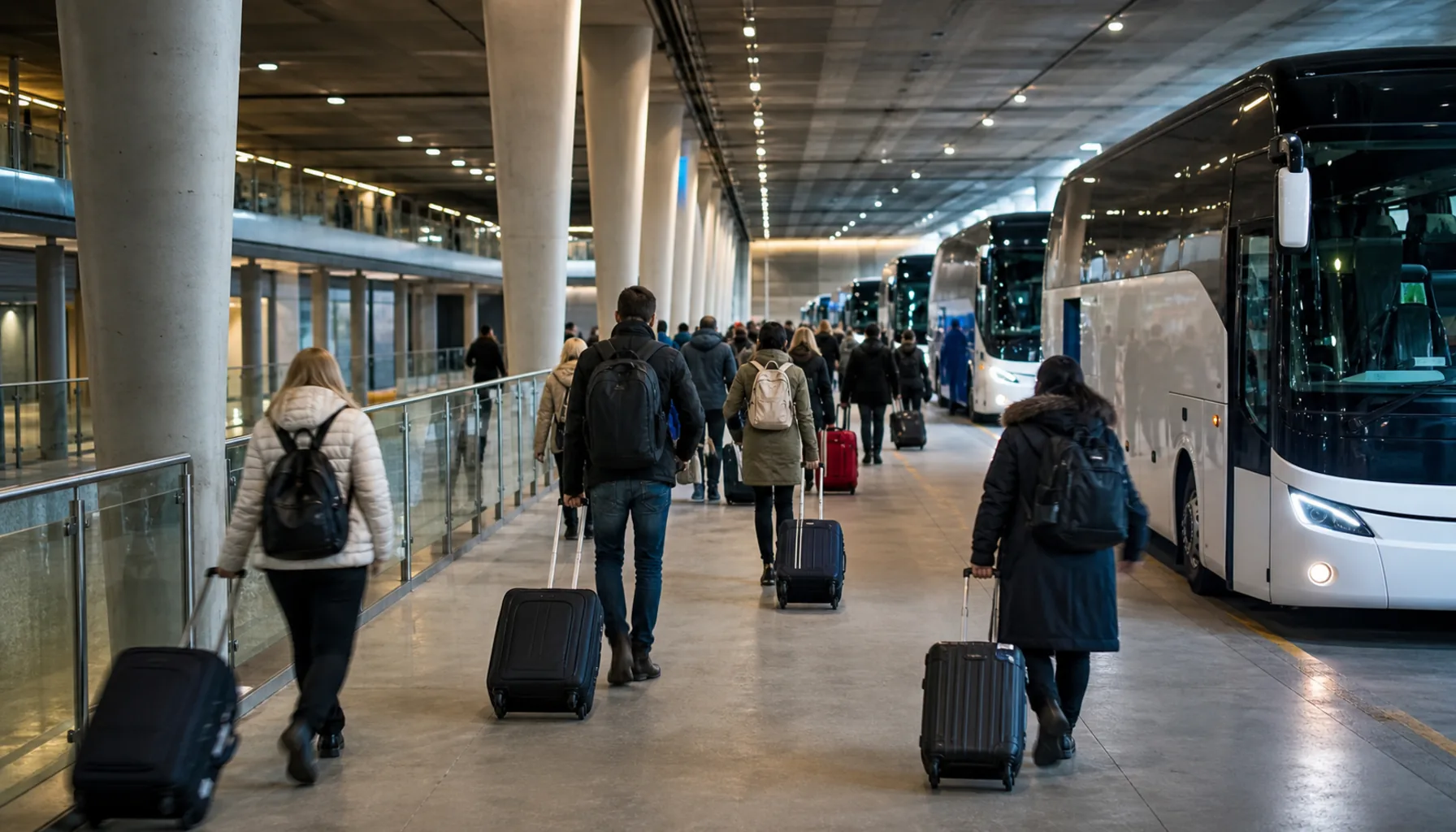
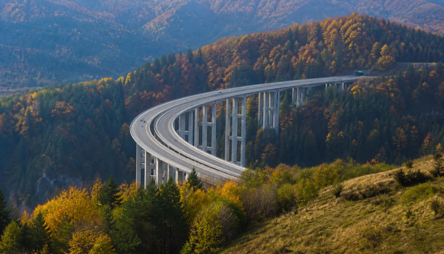
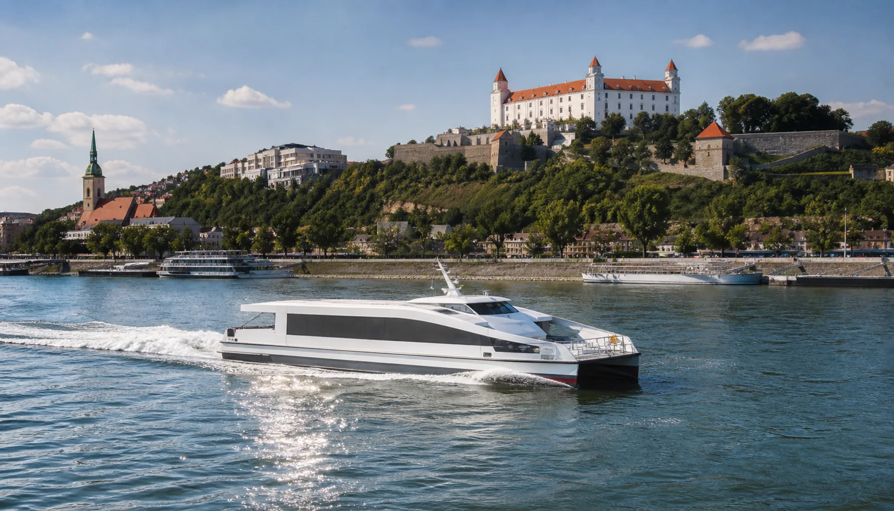
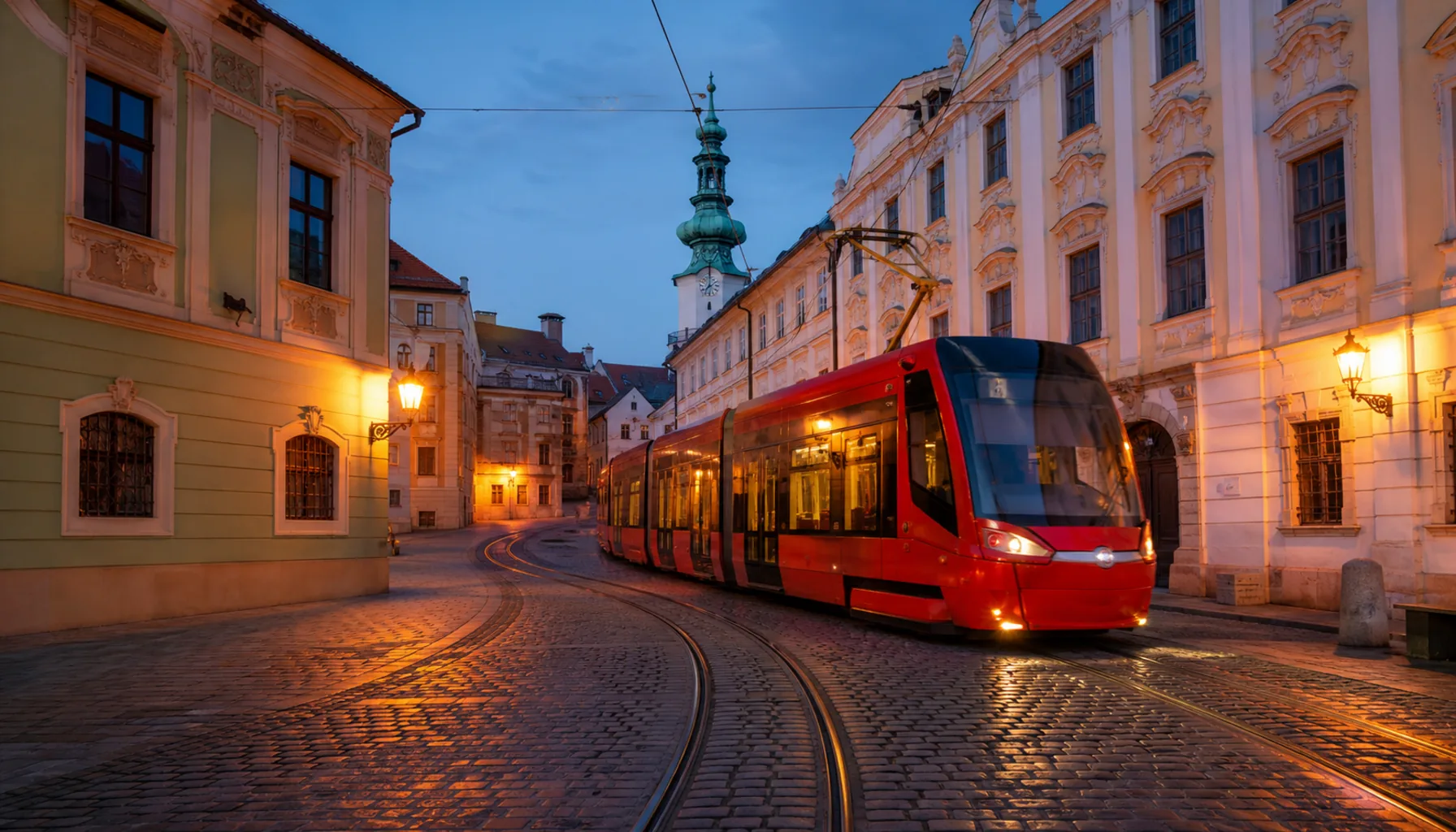
The animated map on our front page is this network drawn live — expresses sliding down the Váh valley, cars tracing the motorways between them. This page is the practical version: which trains to catch, how the coaches and motorways work, where the planes and Danube boats come in, and how to move around the cities once you arrive.Animovaná mapa na našej titulnej stránke je táto sieť nakreslená naživo — expresy kĺžuce Považím a autá na diaľniciach medzi nimi. Táto stránka je jej praktickou verziou: ktorým vlakom sa oplatí ísť, ako fungujú medzimestské autobusy a diaľnice, kde do hry vstupujú lietadlá a lode na Dunaji a ako sa pohybovať po mestách, keď dorazíte.