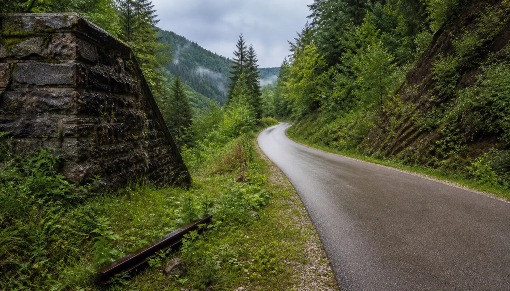
The Váh from Žilina down to the lowland, the Hron through the mining towns, and the Kysuce and Orava routes laid on old railway beds — where the mountains let a bicycle through.Váh od Žiliny dolu do nížiny, Hron cez banské mestá a kysucké i oravské trasy položené na starých železničných násypoch — tam, kadiaľ hory bicykel pustia.
A greenway on a former railway embankment in the KysuceCyklochodník na bývalom železničnom násype na Kysuciach
The Váh corridorPovažský koridor
North of the lowland every long route follows a river, because the valleys are the only continuous flat ground. The Váh corridor is the main one: it runs the length of western Slovakia from the Tatra foothills through Žilina, Považská Bystrica, Trenčín and Piešťany to the plain, and a cycle route has been built along it in sections for years.Severne od nížiny sleduje každá dlhá trasa rieku, lebo doliny sú jedinou súvislou rovinou. Hlavným je koridor Váhu: tiahne sa celým západným Slovenskom od podhoria Tatier cez Žilinu, Považskú Bystricu, Trenčín a Piešťany do roviny — a cyklotrasa sa po ňom už roky stavia po úsekoch.
It is not finished. Some stretches are separated asphalt beside the river, others put you on a secondary road, and the completed parts are not yet joined end to end. Plan a day at a time rather than the whole corridor, and check locally.Hotová nie je. Niektoré úseky sú samostatný asfalt pri rieke, iné vás pošlú na cestu nižšej triedy a dokončené časti zatiaľ nie sú spojené od konca po koniec. Plánujte radšej po dňoch než celý koridor a overte si to na mieste.
Greenways on old railwaysCyklochodníky po starých tratiach
Some of the best riding in the north is on railway that no longer runs. Old lines in the Kysuce and around Orava have been resurfaced as greenways, which gives you the thing a mountain region almost never offers a cyclist: a gentle, constant gradient with cuttings, embankments and bridges already built.Časť najlepšej jazdy na severe vedie po železnici, ktorá už nepremáva. Staré trate na Kysuciach a okolo Oravy prerobili na cyklochodníky, čo dáva to, čo horský región cyklistovi takmer nikdy neponúkne: mierny, vyrovnaný sklon so zárezmi, násypmi a mostami, ktoré už niekto postavil.
The same idea has been applied in the east, where disused branch lines in Šariš and Zemplín have been converted, and around the Orava reservoir, where the lakeside makes a natural circuit.Rovnaký nápad použili aj na východe, kde zrušené odbočné trate v Šariši a na Zemplíne prerobili, a okolo Oravskej priehrady, kde brehy tvoria prirodzený okruh.
The Hron and the eastPohronie a východ
The Hron valley from Banská Bystrica down through Zvolen and Žiar to the Danube is the central corridor, and it links more historic towns per kilometre than any other route in the country — Kremnica and Banská Štiavnica are both a climb off it, and both are worth the climb.Pohronie od Banskej Bystrice cez Zvolen a Žiar k Dunaju je stredným koridorom a spája viac historických miest na kilometer než ktorákoľvek iná trasa v krajine — Kremnica aj Banská Štiavnica sú z neho výstupom nahor a obe za ten výstup stoja.
In the far east the Zemplín routes run flat between Michalovce, the Šírava reservoir and the Tokaj vineyards, which is the warmest and least-ridden corner of the country.Na ďalekom východe vedú zemplínske trasy po rovine medzi Michalovcami, Šíravou a tokajskými vinicami — v najteplejšom a najmenej prejazdenom kúte krajiny.