A City, a Ridge and a PlainMesto, hrebeň a rovina
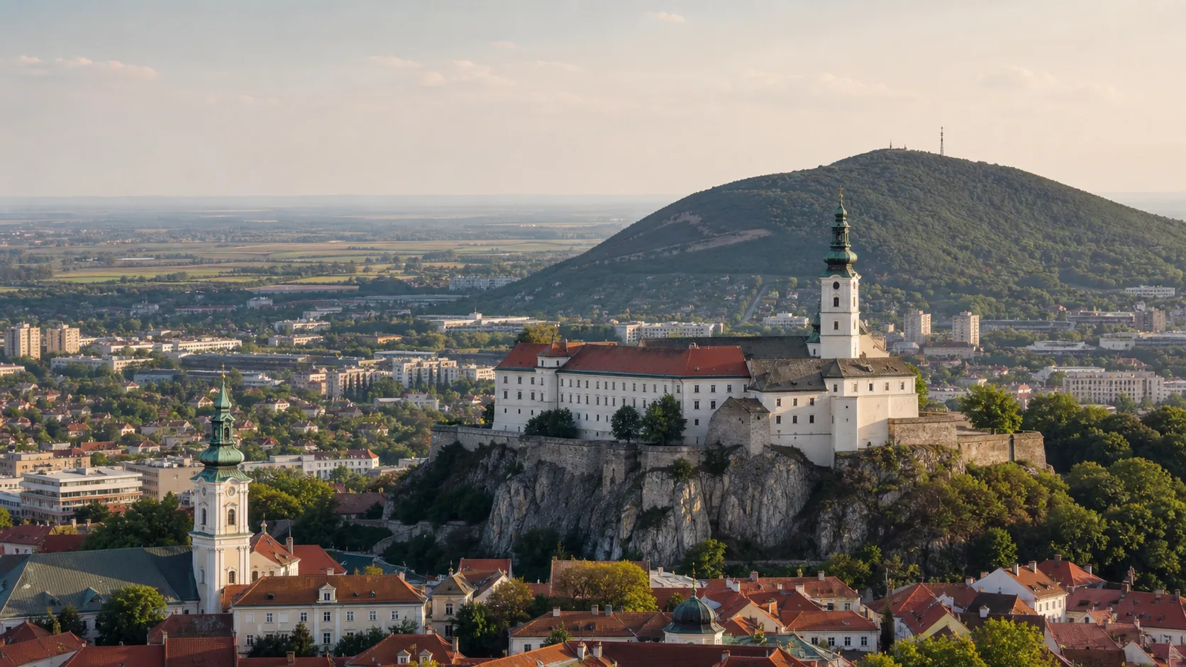
Every Slovak region has a headline; Nitra's is age. The castle rock in the middle of the regional capital carries a cathedral of three grown-together churches and a bishopric founded in 880, the oldest in the country. Above it stands Zobor, 587 metres of wooded hill at the south-western tip of the Tribeč — close enough that the forest trail starts twenty minutes from the main square.Každý slovenský kraj má svoju hlavnú tému; tou nitrianskou je vek. Hradné bralo uprostred krajského mesta nesie katedrálu z troch zrastených kostolov a biskupstvo založené roku 880, najstaršie v krajine. Nad ním stojí Zobor, 587 metrov zalesneného vrchu na juhozápadnom cípe Tribeča — tak blízko, že lesný chodník sa začína dvadsať minút od hlavného námestia.
North-east of the city the Tribeč runs on as a long wooded ridge, a ruined castle on one summit after another, with the Ponitrie Protected Landscape Area over much of it. Southwards the hills give out quickly: the rest of the kraj is the Podunajská nížina — flat, farmed and warm, reaching all the way to the Danube.Severovýchodne od mesta pokračuje Tribeč ako dlhý zalesnený hrebeň so zrúcaninou hradu na jednom vrchole za druhým; veľkú časť pohoria pokrýva Chránená krajinná oblasť Ponitrie. Smerom na juh sa kopce rýchlo strácajú: zvyšok kraja tvorí Podunajská nížina — rovná, obrábaná a teplá, siahajúca až k Dunaju.