Mining Towns and the HronBanské mestá a Hron
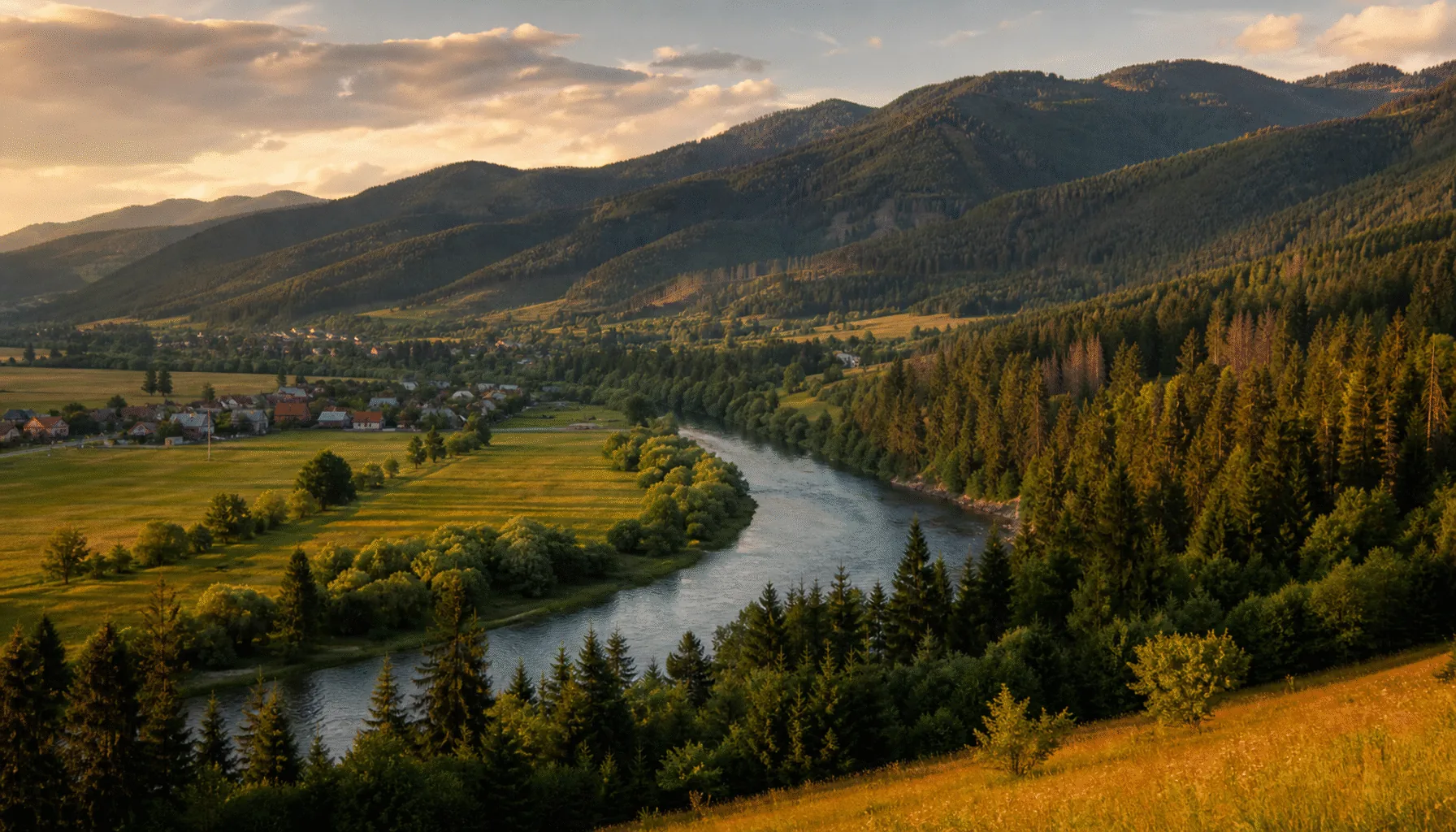
The region spreads across the middle of the country. Its spine is the Hron, flowing west beneath the Low Tatras through Banská Bystrica and Zvolen; south of the river the land rolls away through the Štiavnica hills, the volcanic country of Podpoľanie under Poľana, and the warm, low hills of Novohrad and Gemer's western edge, down toward the Hungarian border.Kraj sa rozprestiera cez stred krajiny. Jeho chrbticou je Hron, ktorý tečie na západ popod Nízke Tatry cez Banskú Bystricu a Zvolen; južne od rieky sa krajina vlní cez Štiavnické vrchy, sopečné Podpoľanie pod Poľanou a teplé nízke kopce Novohradu a západného okraja Gemera, dolu k maďarskej hranici.
What sets it apart is underground. Banská Bystrica grew rich on copper and Banská Štiavnica on silver — mining money built the squares, the burgher palaces and the mining academy, and dug the tajchy, the hillside reservoirs that once powered the mines. When the ore gave out, the towns simply stayed beautiful.To, čím sa odlišuje, je pod zemou. Banská Bystrica zbohatla na medi a Banská Štiavnica na striebre — banícke peniaze postavili námestia, meštianske paláce aj banícku akadémiu a vyhĺbili tajchy, nádrže vo svahoch, ktoré kedysi poháňali bane. Keď sa ruda minula, mestá jednoducho zostali krásne.