The City Under ZoborMesto pod Zoborom
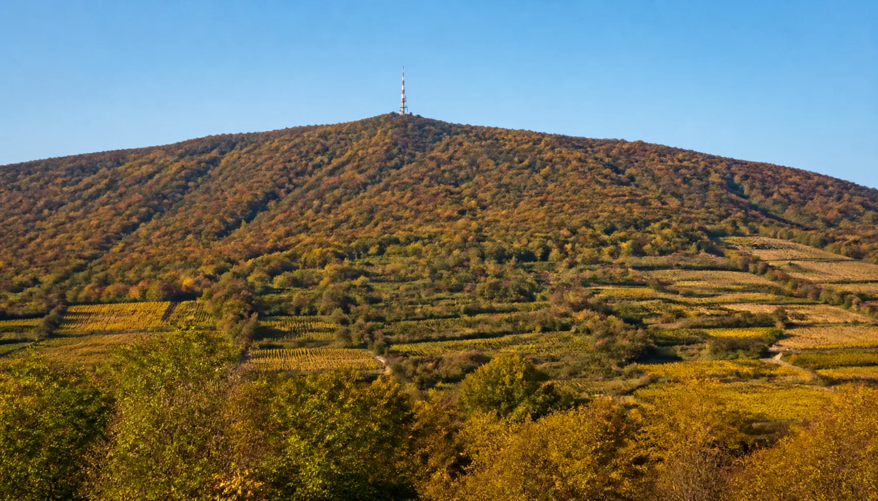
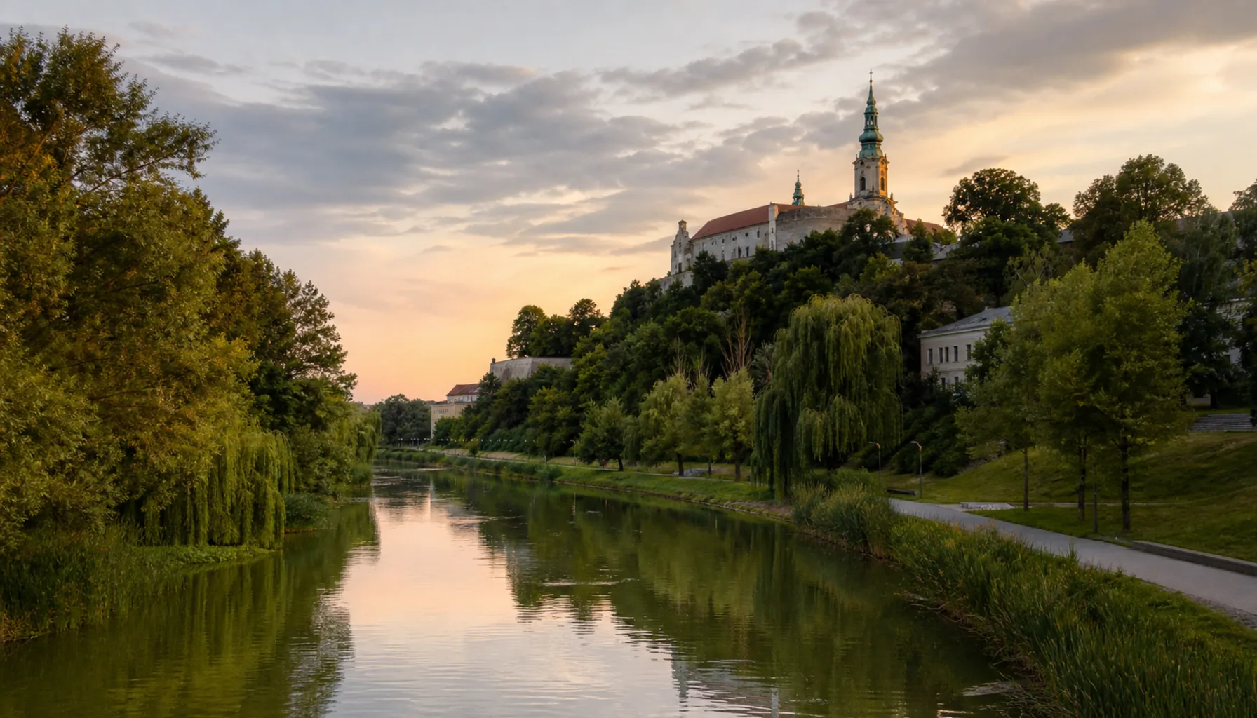
Nitra lies in western Slovakia, at the seam where the last wooded ridges of the Carpathians run out into the flat, fertile Danubian Lowland. The Nitra river loops through the city on its way south toward the Váh. Above the rooftops the long green back of Zobor climbs to 587 metres — the southern end of the Tribeč range, and a compass point visible from almost every borough.Nitra leží na západnom Slovensku, na švíku, kde posledné zalesnené hrebene Karpát dobiehajú do rovinatej a úrodnej Podunajskej nížiny. Mestom sa vinie rieka Nitra na svojej ceste na juh, k Váhu. Nad strechami sa dvíha dlhý zelený chrbát Zobora do výšky 587 metrov — južný koniec pohoria Tribeč a orientačný bod viditeľný takmer z každej mestskej časti.
The hill and its neighbours are protected as the Ponitrie Protected Landscape Area (CHKO Ponitrie), which covers the Tribeč and Vtáčnik ranges: oak and hornbeam woods, limestone crags, and a web of marked trails that start almost inside the city. On the ridge stand the remains of the Benedictine abbey of St Hippolytus, from whose scriptorium came the Zobor deeds of 1111 and 1113 — the oldest surviving documents of domestic origin in Slovakia. Vineyards still hold the warm southern slopes below them.Vrch a jeho susedia sú chránené ako Chránená krajinná oblasť Ponitrie, ktorá zahŕňa pohoria Tribeč a Vtáčnik: dubovo-hrabové lesy, vápencové bralá a sieť značených chodníkov, ktoré sa začínajú takmer v meste. Na hrebeni stoja zvyšky benediktínskeho opátstva svätého Hypolita, z ktorého skriptória pochádzajú Zoborské listiny z rokov 1111 a 1113 — najstaršie zachované písomnosti domáceho pôvodu na Slovensku. Teplé južné svahy pod nimi si dodnes držia vinice.